What is recorded here
No fort remains visible on the south bank of the Burn Daurnett in Goland, though old survey maps marked a single-ringed stronghold there. It vanished without a trace, perhaps swallowed by soil, rain or time. The certainty in the drawing and the emptiness in the field create a small wound in local memory.
There is no sign of the single-ringed 'Fort' shown on the 1st and 2nd editions of the OS 6-inch maps. It was situated on the S bank of the Burn Daurnett in good land.
The above description was derived from the 'Archaeological Survey of County Donegal. A description of the field antiquities of the County from the Mesolithic Period to the 17th century.' Compiled by: Brian Lacey with Eamon Cody, Claire Cotter, Judy Cuppage, Noel Dunne, Vincent Hurley, Celie O'Rahilly, Paul Walsh and Seán Ó Nualláin (Lifford: Donegal County Council, 1983). In certain instances the entries have been revised and updated.
Date of upload: 22 September 2008
The monument record does not grant public access. Check the route and ask the landowner before entering private land.
- What survives
- Recorded monument
Places near here
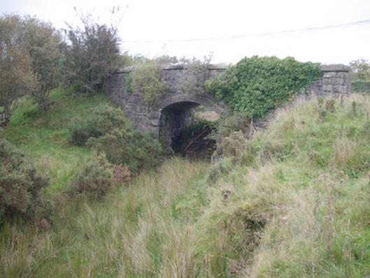 Meenglass Station Bridgebridge · 980 yd
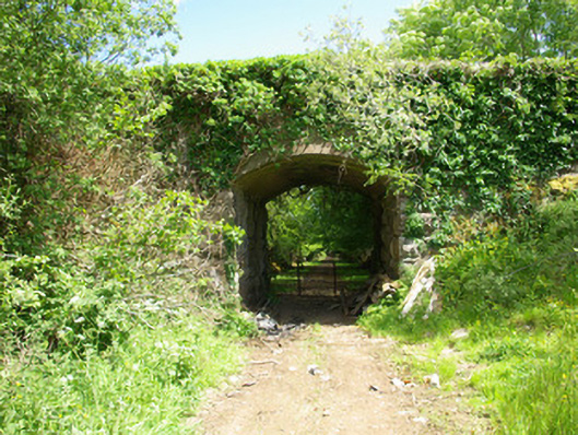 bridgebridge · 1114 yd
 Enclosure in CregganEnclosure · 1.3 mi
 Church (Site of)Church · 1.5 mi
 Drumboe WoodForest recreation place · 1.8 mi
 Gorey HillMountain / peak · 3.3 mi
 Castle (Site of)Castle, unclassified · 3.7 mi
 Lough HillMountain / peak · 3.7 mi
 Bawn in Killynure OR Wilsons FortBawn · 6.1 mi
 Killeter ForestForest · 7.5 mi
 Newmills Corn and Flax MillsHeritage attraction · 9.7 mi
 Battle of Scarrifholisbattle · 9.9 mi