What is recorded here
Fairy fort / ringfort in Glasdrumman More is a small circular embanked enclosure, twenty to twenty-five metres across, marked on the 1835 OS map but no longer visible in the unclaimed pasture where a forest now grows. It sits on a level plateau beside a stream, reduced to a hidden shape beneath trees and grass. The fort may have been a dwelling, a boundary marker or a forgotten ritual place, but time and planting have taken back its edges. What remains is the possibility that people once lived, argued, loved or vanished inside a circle the land has since swallowed.
Situated on a level plateau in a low-lying landscape of rough pasture with a S-N stream c. 100m to the W. A small circular embanked enclosure (ext. diam. c. 20-25m) is indicated on the 1835 edition of the OS 6-inch map. No feature is visible at ground level in an area that appears never to have been reclaimed. It is now planted within a forest (Bing 2013).
The above description is derived from 'The Archaeological Inventory of County Leitrim' compiled by Michael J. Moore (Dublin: Stationery Office, 2003). In certain instances the entries have been revised and updated in the light of recent research.
Date of upload/revision: 13 December 2011
The monument record does not grant public access. Check the route and ask the landowner before entering private land.
- What survives
- Recorded monument
Places near here
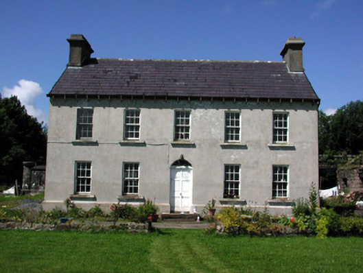 Glasdrumman Housefarm house · 839 yd
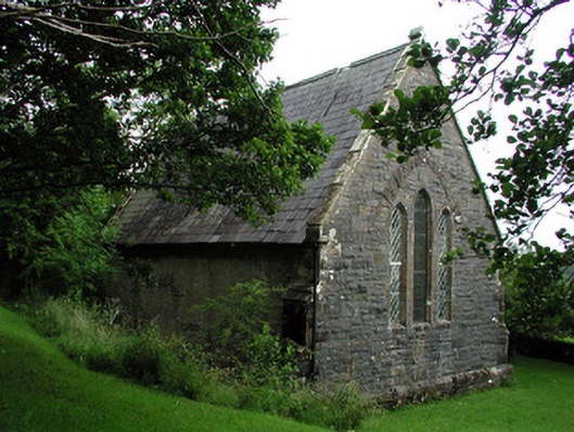 Creevelea Presbyterian Churchchurch/chapel · 1086 yd
 Sweat Ho.Sweathouse · 1.1 mi
 fortsFairy fort / earthen ringfort · 1.2 mi
 Drummans IslandIslet · 4.2 mi
 Carrane HillCliff · 4.5 mi
 Seltannasaggart SE SlopeMountain / peak · 4.8 mi
 European ashEuropean ash · 4.9 mi
 Black PoplarBlack Poplar · 4.9 mi
 Scardan WaterfallWaterfall · 5.1 mi
 Corry ShoalIslet · 5.1 mi
 Old HallCastle, hall-house · 5.3 mi