What is recorded here
No wall, ditch or stone still marks the Garshooey fort, though an old survey named it and local memory keeps returning it to life. It may have stood on a small hillock in good land, simple enough to build and strong enough to hold a household through rain and rivalry. Its disappearance is not a failure of imagination but a reminder that ordinary places can vanish without ceremony.
No trace of the single-ringed circular 'Fort' marked on the 1st edition of the OS 6-inch map survives above ground. It was possibly situated on a small hillock on gently sloping good land.
The above description was derived from the 'Archaeological Survey of County Donegal. A description of the field antiquities of the County from the Mesolithic Period to the 17th century.' Compiled by: Brian Lacey with Eamon Cody, Claire Cotter, Judy Cuppage, Noel Dunne, Vincent Hurley, Celie O'Rahilly, Paul Walsh and Seán Ó Nualláin (Lifford: Donegal County Council, 1983). In certain instances the entries have been revised and updated.
Date of upload: 22 September 2008
The monument record does not grant public access. Check the route and ask the landowner before entering private land.
- What survives
- Recorded monument
Places near here
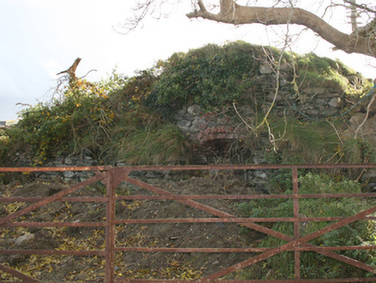 kilnkiln · 725 yd
 Monglasshouse · 1055 yd
 Fairy fort / ringfort in AltaghaderryFairy fort / ringfort · 1.1 mi
 ENCLOSURE in KilleaENCLOSURE · 1.3 mi
 CastleCastle, unclassified · 1.6 mi
 Emmery Celtic CrossWood · 1.9 mi
 Grianán of AileachFairy fort / stone ringfort · 3.4 mi
 Greenan MountainMountain / peak · 3.4 mi
 Prehen WoodsForest · 3.8 mi
 Burt CastleCastle, tower house · 4.1 mi
 Gortmonly HillMountain / peak · 4.4 mi
 Double BastionViewpoint · 4.5 mi