What is recorded here
Fanningstown, County Limerick. Forty-five metres of vanished stone, swallowed by plough and forgetting. O'Kelly measured the ghost in 1943: a raised platform, gravel-boned, stone-skinned, now flattened into ordinary field. The entrance erased, the ditch reduced to a whisper of soil. Whatever lived there stopped being visible long before it stopped existing. The land kept the shape longer than memory did.
Possible ringfort described in 1943 as following; 'This seems to have been a raised platform of earth and gravel. The sides of the platform seem to have been faced with stone, but as the monument has been partially levelled, very little remains. There are slight traces of a fosse. The entrance is not recognisable. The overall diameter is 150' [45.7m].' (O'Kelly 1943, 226).
Compiled by: Caimin O'Brien
Date of upload: 03 January 2019
The monument record does not grant public access. Check the route and ask the landowner before entering private land.
- What survives
- Recorded monument
Places near here
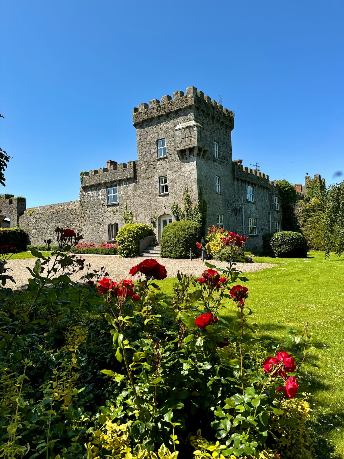 Enclosure in Fanningstown (smallcounty By.)Enclosure · 326 yd
 Church (in ruins)Church · 498 yd
 Carnane RockNamed rock · 947 yd
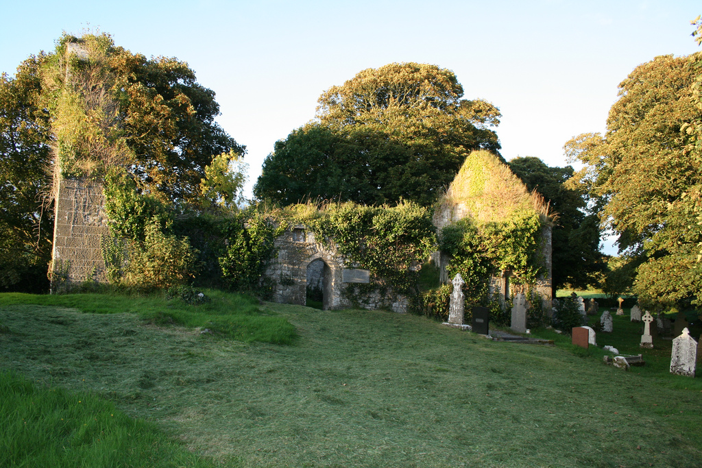 Enclosure in Boherload,carnaneEnclosure · 1091 yd
 Partially indicatedBawn · 1102 yd
 Cloghane Bridgebridge · 1661 yd
 ToberauillinSpring · 1.1 mi
 Dotted outlineBawn · 1.1 mi
 Villiers WellSpring · 1.5 mi
 Skool HillMountain / peak · 2.2 mi
 Monasteranenagh AbbeyHeritage attraction · 4.9 mi
 Biodiversity in the Maigue CatchmentVisitor information · 6.3 mi