What is recorded here
In 1840, Fanningstown held a broad tree-lined circle seventy metres across, but by 1897 the timber vanished and a bare oval bank emerged. The fort shrinks as memory withdraws, revealing the quiet skeleton beneath the living wood. It is not a lost place but a breathing one, tightening its rings as the world stops pretending.
In level pasture, with moderate views in all directions. The site is located 240m E of the townland boundary with Castleroberts, 350m N of Fanningstown Castle (LI021-047----) and 200m WNW of enclosure (LI021-050----). It is depicted as a large tree lined circular enclosure (ext. diam. c. 70m) on the 1840 ed. OSi 6-inch map with field boundaries extending from the site to the S and E. Shown on the 1897 ed. OSi 25-inch map as an oval embanked enclosure (int. diam. c. 45m N-S; 49m E-W) surrounded by a bank and external fosse (ext. diam. c. 65m N-S; 68m E-W). Inspected by the ASI in 2000, and described as no surface remains visible. Known locally as a ‘fort’. The levelled enclosure is visible as a cropmark on Digital Globe orthophotos taken 2011-13, and on Google Earth orthophotos in 05/02/2009, 28/06/2018 and 14/02/2020. The Google Earth image dating from 28/06/2018 shows the dry bank as a ring of scorched grass surrounded by the fosse, a circular feature (diam. c. 8m) is also visible outside the enclosure c. 12m to SE. The site is likely to be a ringfort.
See attached Google Earth orthoimages
Compiled by: Edmond O’Donovan
Date of upload: 10 August 2020
The monument record does not grant public access. Check the route and ask the landowner before entering private land.
- What survives
- Recorded monument
Places near here
 Fanningstown Castlecountry house, castle/fortified house · 422 yd
 Fanningstown Castle (in ruins)Castle, tower house · 438 yd
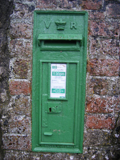 post boxpost box · 493 yd
 Partially hachuredFairy fort / earthen ringfort · 606 yd
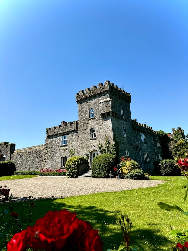 OutlinedEnclosure · 738 yd
 Site of CastleCastle, unclassified · 1.0 mi
 GinkgoGinkgo · 1.8 mi
 Lebanon CedarLebanon Cedar · 1.8 mi
 Dysert AenghusaHeritage attraction · 2.1 mi
 Adare Desmond CastleMedieval castle · 2.2 mi
 Biodiversity in the Maigue CatchmentVisitor information · 2.3 mi
 Kinnoor WellSpring · 3.4 mi