What is recorded here
Fairy fort / ringfort in Dysart (moyashel & Magheradernon By.) is a fairy fort or ringfort in Dysart (moyashel & Magheradernon By.), County Westmeath, Ireland. The 1971 inventory described the levelled enclosure as having no surface remains visible at the time. A 1971 description recorded the site on a very slight rise in gently undulating pasture and tillage, with good views of Lough Ennell to the east.
Situated on a very slight rise, in gently undulating pasture and tillage, with good views of Lough Ennell to E and restricted views in other directions. Depicted on the 1837 OS Fair Plan map as a D-shaped earthwork defined by a straight side to NW, annotated ‘fort’. Depicted on the revised 1913 ed. OS 25-inch map as a subrectangular-shaped earthwork. Levelled enclosure described in 1971 as no surface remains visible. Levelled monument is not visible today on Digital Globe aerial photography.
Compiled by Alison McQueen, Vera Rahilly and Caimin O’Brien.
Date of upload: 23 September 2019
The monument record does not grant public access. Check the route and ask the landowner before entering private land.
- What survives
- Recorded monument
Places near here
 EnclosureEnclosure, large enclosure · 681 yd
 Ash IslandIslet · 881 yd
 Partially indicatedEcclesiastical enclosure · 955 yd
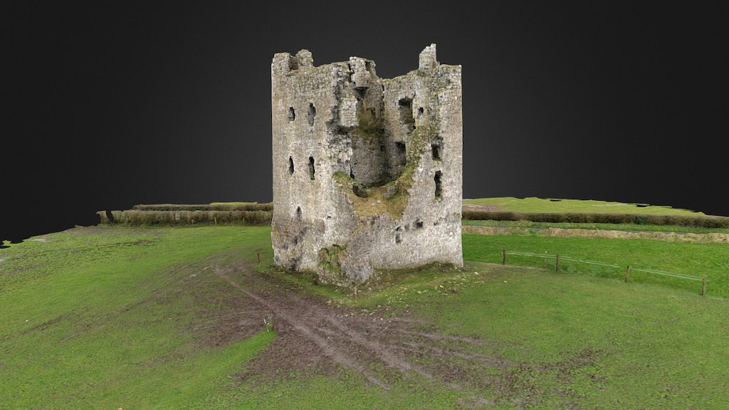 CastleCastle, ringwork · 958 yd
 Church (in Ruins)Church · 1004 yd
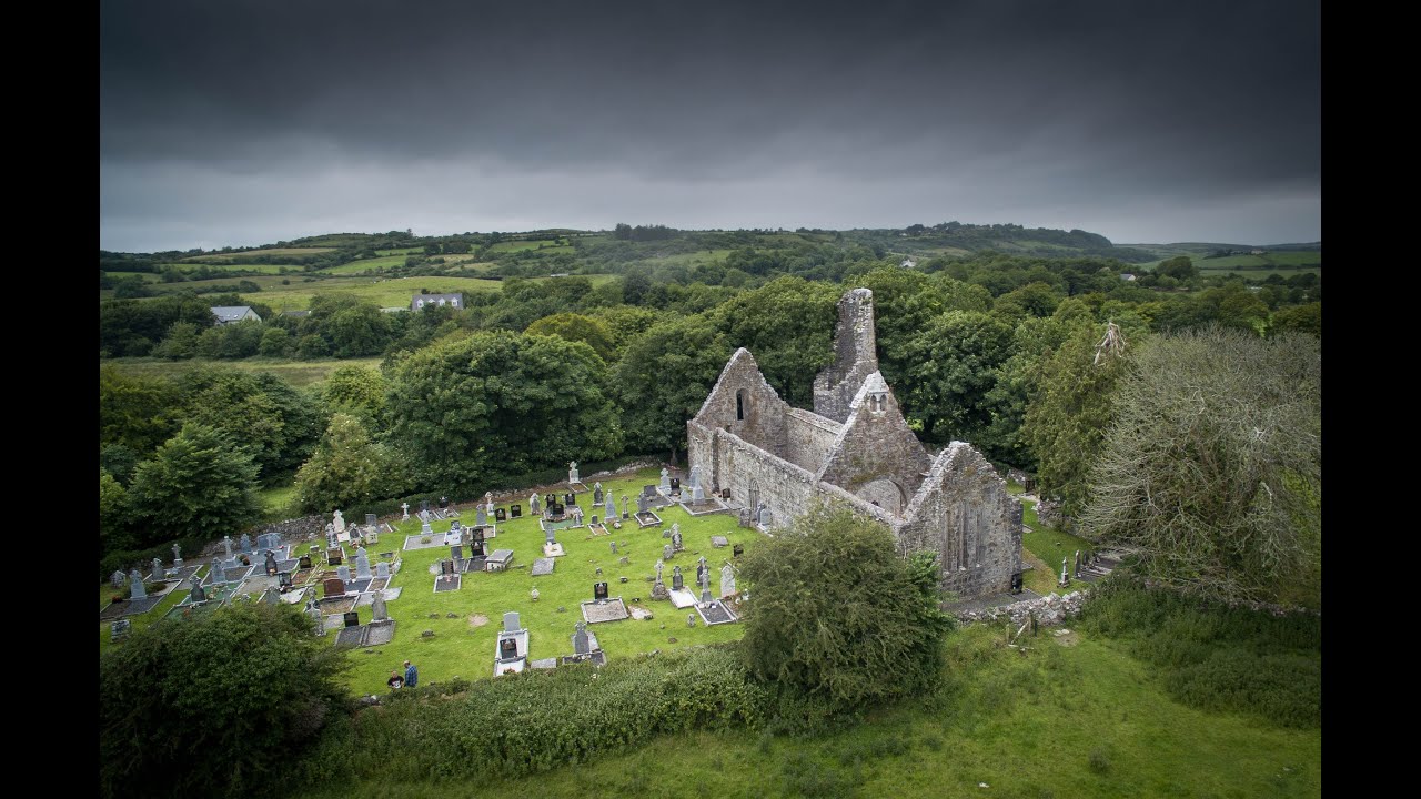 Bawn in Dysart (moyashel & Magheradernon By.)Bawn · 1019 yd
 Dysart IslandIsland · 1247 yd
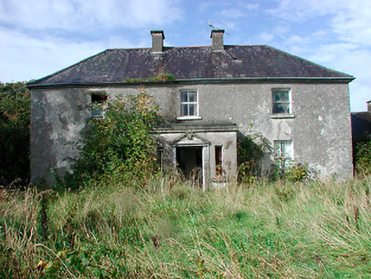 Kilcooley Housefarm house · 1249 yd
 Ancient Ring FortWood · 6.1 mi
 Ardan WoodWood · 8.0 mi
 Bonfire HillMountain / peak · 8.4 mi
 Kilmalady HillMountain / peak · 9.7 mi