What is recorded here
Fairy fort / ringfort in Dysart (moyashel & Magheradernon By.) is a fairy fort or ringfort in Dysart (moyashel & Magheradernon By.), County Westmeath, Ireland. It sits on a small oval hillock in gently undulating pasture, with a nearby ringfort located approximately 25 meters to the northeast. A 1971 account recorded the monument as levelled with no surface remains visible, although the perimeter is partially traced as a cropmark measuring 19 meters from northwest to southeast. This cropmark forms an arc from north-northwest through north to east to east-southeast, defined by a narrow band of vegetation that contrasts with the surrounding field.
Situated on top of a small oval hillock, in gently undulating pasture, with good views in all directions. Ringfort (WM025-069----) lies c. 25m to NE. Annotated 'Fort' on the 1837 OS Fair Plan map. Levelled monument described in 1971 as no surface remains visible. The perimeter can be partially traced as a cropmark (C. 19m NW-SE) forming an arc from NNW-N-E-ESE which is defined by a narrow band of vegetation which contrasts with the surrounding field. This band forms a straight line to NE confirming that the enclosure was D-shaped. A low, broad bank intersects the cropmark at NE. Other slight banks can be traced in the vicinity between this monument and the ringfort to NE. No remains of levelled monument visible today on Digital Globe aerial photographs.
Compiled by Alison McQueen, Vera Rahilly and Caimin O’Brien.
Date of upload: 11 September 2019
The monument record does not grant public access. Check the route and ask the landowner before entering private land.
- What survives
- Recorded monument
Places near here
 Field system in Dysart (moyashel & Magheradernon By.)Field system · 492 yd
 Enclosure in Dysart (moyashel & Magheradernon By.)Enclosure · 497 yd
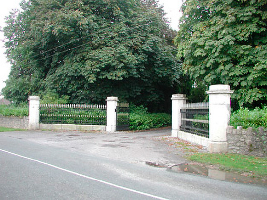 Barrettstown Housegates/railings/walls · 569 yd
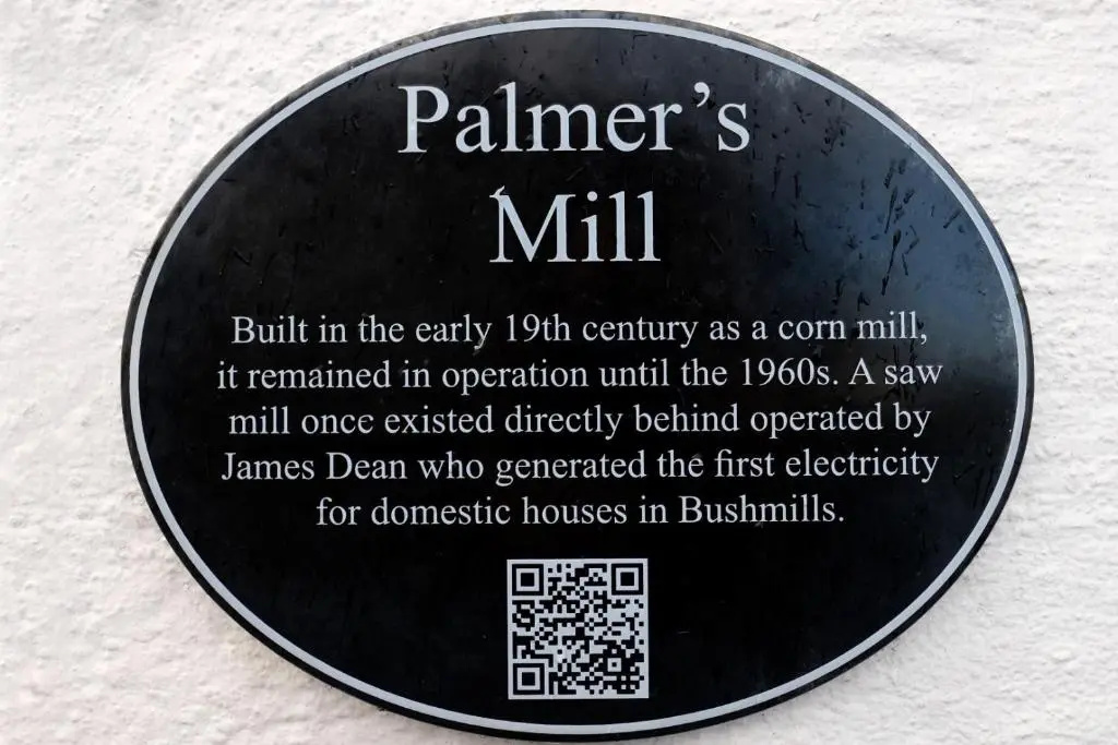 Corn Mill & KilnWater mill, unclassified · 996 yd
 Dysart Ho. (in ruins)Castle, unclassified · 1018 yd
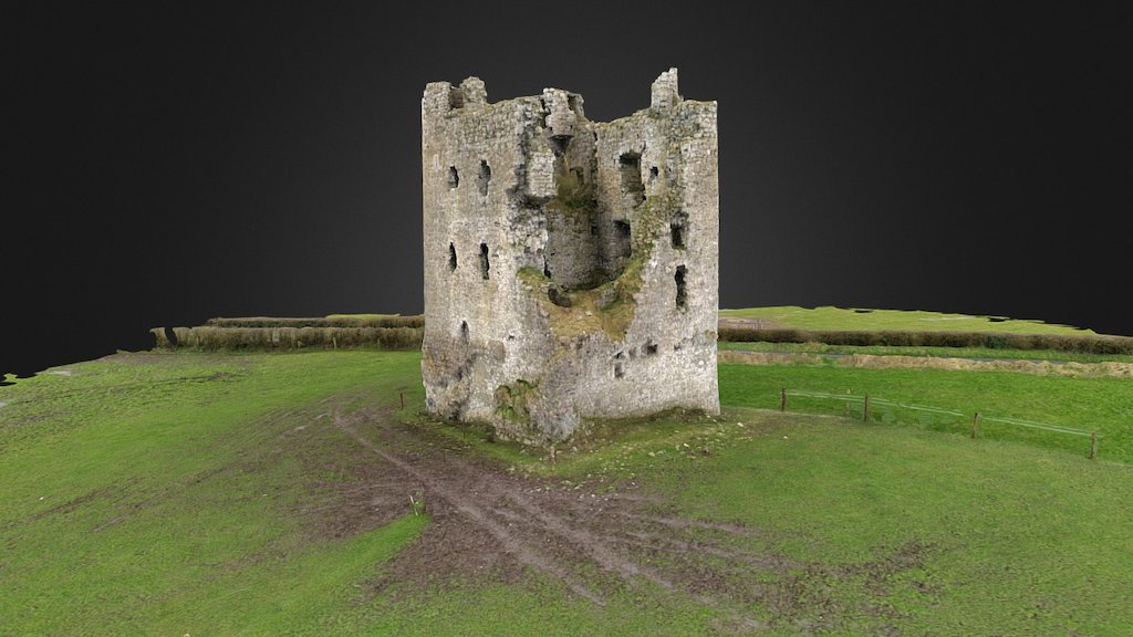 CastleCastle, ringwork · 1120 yd
 Ash IslandIslet · 1.6 mi
 Ancient Ring FortWood · 1.8 mi
 Dysart IslandIsland · 1.9 mi
 Hill of UisneachMountain / peak · 4.6 mi
 Ardan WoodWood · 8.6 mi
 Bonfire HillMountain / peak · 8.9 mi