What is recorded here
The location of a watermill mentioned in a seventeenth century land grant to Robert Nugent of Walshestown has not been identified. In 1611 Robert Nugent was granted 'a watermill' in the 'said manor and town of Kilcowle' (Cal. pat. rolls Ire., Jas I, 196). The placename Kilcowle or Kilcooley refers to the southern part of the townland of Dysart. The identification of this placename is preserved in the name of Kilcooley House located close to shoreline of Lough Ennell. Millbrook House which is built on the site of a post medieval corn mill may have been built on the site of the medieval watermill.
Compiled by: Caimin O'Brien
Date of upload: 24 July 2015
The monument record does not grant public access. Check the route and ask the landowner before entering private land.
- What survives
- Recorded monument
Places near here
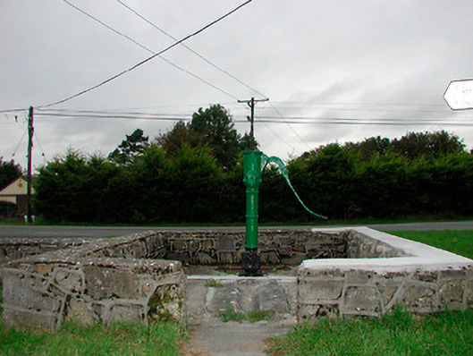 water pumpwater pump · 290 yd
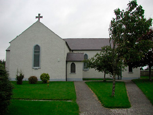 Saint Patrick's Catholic Churchchurch/chapel · 502 yd
 Enclosure in Dysart (moyashel & Magheradernon By.)Enclosure · 635 yd
 Field system in Dysart (moyashel & Magheradernon By.)Field system · 783 yd
 Dysart Ho. (in ruins)Castle, unclassified · 1473 yd
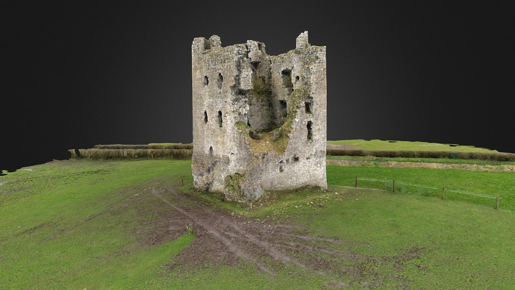 CastleCastle, ringwork · 1524 yd
 Ash IslandIslet · 1.7 mi
 Dysart IslandIsland · 1.8 mi
 Ancient Ring FortWood · 2.0 mi
 Hill of UisneachMountain / peak · 4.5 mi
 Ardan WoodWood · 8.1 mi
 Bonfire HillMountain / peak · 8.3 mi
Other information
Photo: Credit not shown in the picture search · Rights wording not checked; contact us if this picture should be removed