What is recorded here
Drumagh held a roughly square ringfort twenty to twenty-five metres across on a gentle south-facing slope, overlooked by a cashel sixty metres upslope. People lived inside that small stone circle for generations, tending pasture and shaping the ridge before machinery arrived. In 1980 reclamation works levelled the fort, scattering its walls into field fences and stone heaps. A faint curved mark still appears in the grass, preserving the shape of a home that no longer stands.
In pasture, located on the gentle S-facing slope of an E–W ridge. Overlooked to NE by a cashel (MA050-007001) which is c. 60m upslope to NE on the crown of the ridge.
Not shown on the 1838 edition OS 6-inch map; depicted on the 1929 edition as a roughly square enclosure (max. dim. 20-25m) incorporated into field walls on the W, N and E sides, with a shallow arc of hachuring on the S side.
This ringfort was levelled in 1980 during land reclamation works. An ephemeral C-shaped surface undulation or cropmark, curving SW–NW, outlines the W arc. The NW–SE field fence that bordered the E side of the enclosure is extant, and is lined with large heaps of stones, boulders and field clearance debris resulting from the removal of the S, W and N boundaries of the enclosure. Abutting the E side of the NW–SE fence a low stony rise forms a short arc, possibly representing a remnant of the E arc of the original enclosing wall. There is a Man-made underground passage (MA050-006001-) in the interior (SRM file: OPW field notes 1980).
Compiled by: Jane O’Shaughnessy
Date of upload: 12 June 2020
The monument record does not grant public access. Check the route and ask the landowner before entering private land.
- What survives
- Recorded monument
Places near here
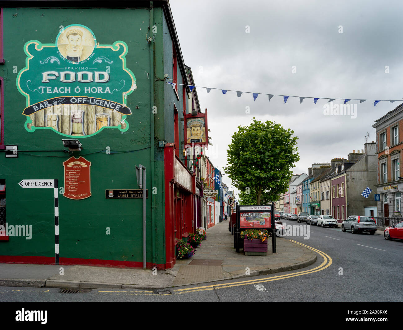 IndicatedFairy fort / ringfort · 415 yd
 Killasser Church (in ruins)Church · 1208 yd
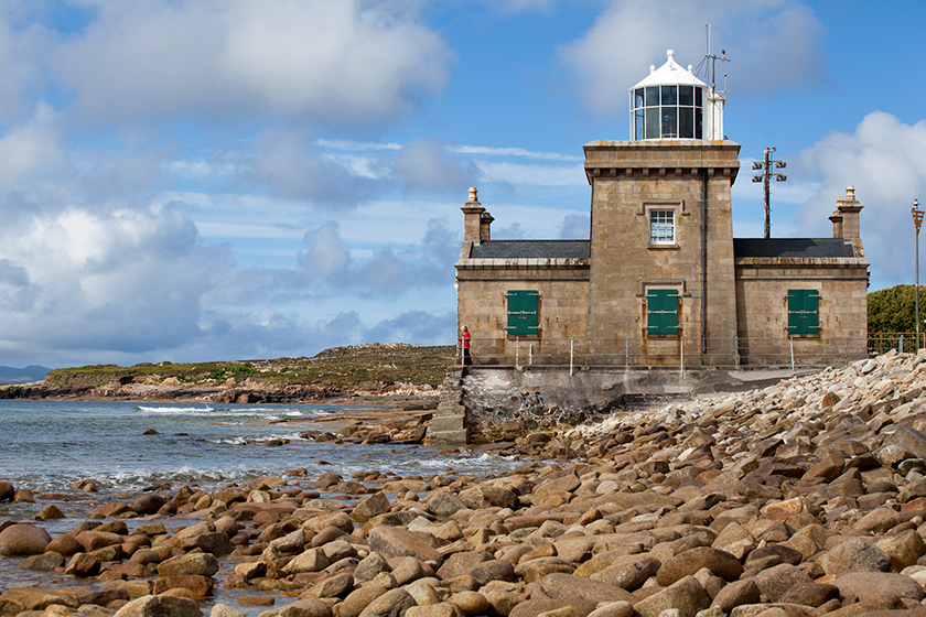 Enclosure in KnockmullinEnclosure · 1267 yd
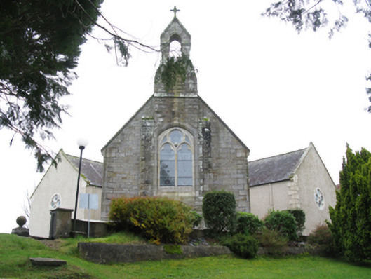 All Saints' Catholic Churchchurch/chapel · 1.7 mi
 Castle (in Ruins)Castle, tower house · 1.9 mi
 HawthornHawthorn · 2.6 mi
 Hennigan's Heritage CentreHeritage attraction · 2.7 mi
 Procession Of The SoulsMemorial · 4.2 mi
 Youth Memorial GardenMemorial · 4.3 mi
 Brabazon WoodsForest · 4.5 mi
 KnockasliggaunMountain / peak · 5.5 mi
 Castle Carragh in RuinsCastle, unclassified · 5.6 mi