What is recorded here
Donaghmore Upper held a genuine ringfort until human impatience erased it. The fort stood fifty-one metres across on the 1839 map, then vanished before the 1900 revision, leaving only a shallow thirty-nine-metre platform in pasture. People called it a fairy fort because the fairies refuse to explain themselves, but the measurements record an ordinary human home that owners decided to remove. The ground keeps the shape of the decision even when the wall no longer exists.
In a level reclaimed field with land to E rising steeply, in pasture. Indicated as a roughly circular enclosure (overall dims. c. 51m NE-SW; c. 48m NW-SE) on the 1st (1839) ed. OS 6-inch map. It appears to have been levelled between 1839 and 1900 as it is not depicted on the 1900 revision of the OS 6-inch map. Now visible as a level platform (max. dims. 39m N-S; 34m E-W, H 0.4m).
Compiled by: Jean Farrelly
Date of upload: 22 January 2018
The monument record does not grant public access. Check the route and ask the landowner before entering private land.
- What survives
- Recorded monument
Places near here
 Temple DonaghmoreChurch · 175 yd
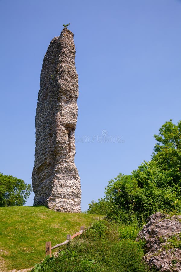 CastleCastle, ringwork and bailey · 875 yd
 Enclosure in Ballycuddihy (galmoy By.))Enclosure · 1140 yd
 The Old Rectoryrectory/glebe/vicarage/curate's house · 1295 yd
 Concentric enclosure in SevensistersConcentric enclosure · 1354 yd
 John HelyMemorial · 1373 yd
 DelaneyMemorial · 1555 yd
 Clomantagh HillMountain / peak · 1.2 mi
 IndicatedBawn · 2.2 mi
 Street fieldArchaeological place · 3.0 mi
 Kildrinagh WoodForest · 4.1 mi
 Anker's IslandIsland · 8.8 mi