What is recorded here
Fairy fort in Crossconnell More stands on a ridge summit in County Galway, an oval rath thirty-seven and a half metres long with two degraded banks and a hidden fosse. The southeast gap may be the original entrance, inviting entry into a place where human history and fairy story blur. Whoever built it shaped grassland into a room for visibility, ceremony or defense, then disappeared into the kind of forgetting that makes such circles feel alive rather than abandoned.
On a ridge summit in grassland. Oval rath (N-S 37.5m, E-W 24.8m), in fair condition, defined by two degraded banks and an intervening fosse. No visible surface trace of the fosse or outer bank survives from SSW to NNW. A gap (Wth 3.1m) at SE may be original.
The above description is derived from the published 'Archaeological Inventory of County Galway Vol. II - North Galway'. Compiled by Olive Alcock, Kathy de hÓra and Paul Gosling (Dublin: Stationery Office, 1999).
Date of upload: 05 August 2010
The monument record does not grant public access. Check the route and ask the landowner before entering private land.
- What survives
- Recorded monument
Places near here
 LisnagranFairy fort / earthen ringfort · 248 yd
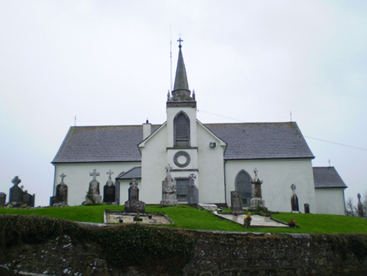 Saint Augustine's Catholic Churchchurch/chapel · 392 yd
 Chapel FortFairy fort / earthen ringfort · 400 yd
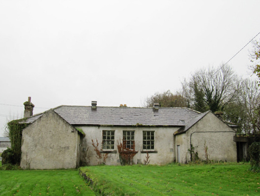 Clontuskert National Schoolschool · 410 yd
 Ballagh Castle (in Ruins)Castle, unclassified · 1.2 mi
 European BeechEuropean Beech · 1.3 mi
 European YewEuropean Yew · 1.6 mi
 Urraghry HillMountain / peak · 2.7 mi
 Oghil Castle (in ruins)Castle, tower house · 2.8 mi
 The bloody HollowHeritage attraction · 3.0 mi
 Ardcarn IslandsIslet · 3.3 mi
 Battle of AughrimMajor battlefield · 3.3 mi