What is recorded here
Cropmark of circular-shaped area with entrance gap at E visible on aerial photograph taken on 13/07/2018.
See attached aerial photograph taken 13/07/2018 by Daragh Dunkin
Compiled by: Caimin O'Brien based on details kindly provided by Daragh Dunkin
Date of upload: 22 February 2019
The monument record does not grant public access. Check the route and ask the landowner before entering private land.
- What survives
- Recorded monument
Places near here
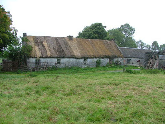 farm housefarm house · 977 yd
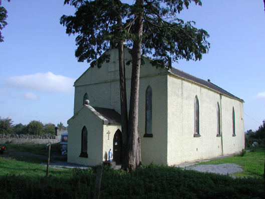 Saint Colman's Church (Kilcolman)church/chapel · 1234 yd
 IndicatedEnclosure · 1716 yd
 Big WoodWood · 1.4 mi
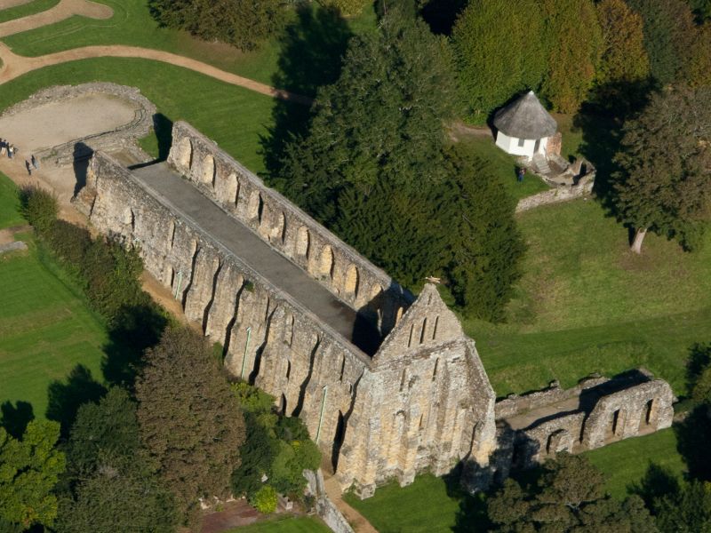 Site of Insula Vitae AbbeyChurch · 1.5 mi
 Clonbeg Castle in ruinsCastle, unclassified · 1.8 mi
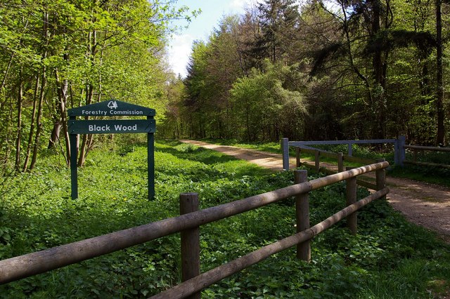 Black WoodForest · 2.3 mi
 Birr Heritage CentreMuseum · 2.3 mi
 Waterfall PointViewpoint · 2.5 mi
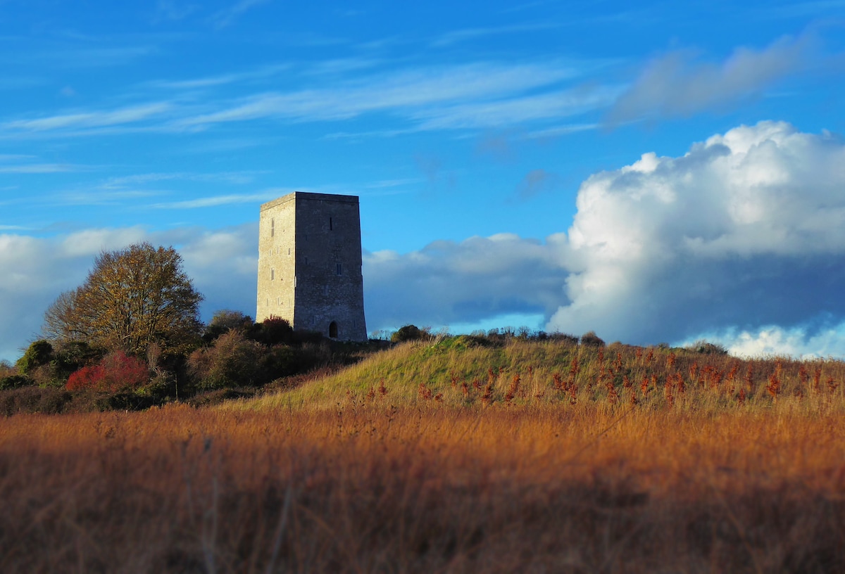 Black Castle (Site of)Castle, motte · 2.5 mi
 James Franklin FullerMemorial · 2.5 mi
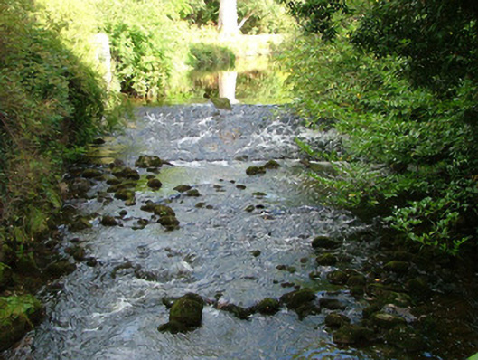 Birr Castlehydroelectric power station · 2.6 mi