What is recorded here
Cranasallagh lost its fairy fort when men levelled the ground, erasing the subcircular shadow where stone once faced a low bank. Reynolds measured thirty-four metres of forgotten boundary before the site vanished, leaving no entrance or ditch for later eyes to find. The earth keeps its own counsel, swallowing human marks and fairy roads alike, but the loss still aches because the shape was real enough to survey.
Not visible at ground level. According to local information site was levelled several years ago. Described by Reynolds (1977) as a subcircular area (diam 34m NW-SE) enclosed by a low bank with stone facing in places. No evidence of an external fosse or entrance feature
The above description is derived from the published 'Archaeological Inventory of County Offaly' (Dublin: Stationery Office, 1997). In certain instances the entries have been revised and updated in the light of recent research.
Date of upload: 23 May 2011
The monument record does not grant public access. Check the route and ask the landowner before entering private land.
- What survives
- Recorded monument
Places near here
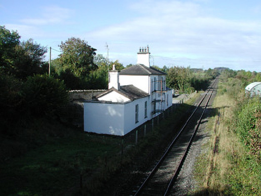 Ballycumber Railway Stationrailway station · 303 yd
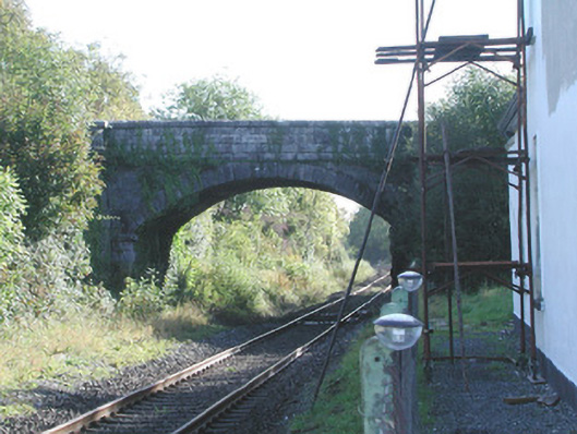 Prospect Bridgebridge · 308 yd
 BarrowBarrow, ring-barrow · 886 yd
 Enclosure in WiltonEnclosure · 1701 yd
 Inchaloon IslandIslet · 1.0 mi
 Castle ArmstrongHouse, fortified house · 1.9 mi
 Roughan HillMountain / peak · 2.2 mi
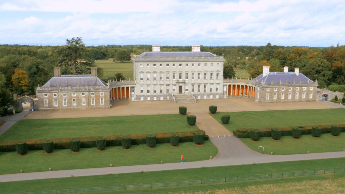 Bawn in Castletown (ballycowan By.)Bawn · 2.2 mi
 ToberaskeenSpring · 2.4 mi
 Clara Bog BoardwalkHeritage attraction · 3.0 mi
 European ashEuropean ash · 3.6 mi
 Moate HillMountain / peak · 4.1 mi