What is recorded here
Not visible at ground level. According to local information site was levelled several years ago. Described by Reynolds (1977) as a subcircular area (diam 34m NW-SE) enclosed by a low bank with stone facing in places. No evidence of an external fosse or entrance feature
The above description is derived from the published 'Archaeological Inventory of County Offaly' (Dublin: Stationery Office, 1997). In certain instances the entries have been revised and updated in the light of recent research.
Date of upload: 23 May 2011
A local fairy fort (ringfort/rath); wider significance not recorded.
The monument record does not grant public access. Check the route and ask the landowner before entering private land.
- What survives
- Recorded monument
Places near here
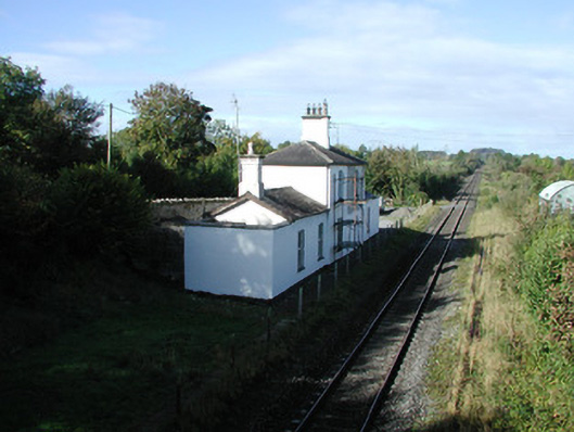 Ballycumber Railway Stationrailway station · 303 yd
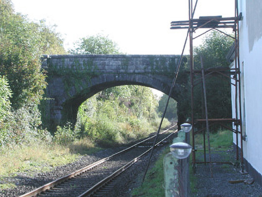 Prospect Bridgebridge · 308 yd
 BarrowBarrow, ring-barrow · 886 yd
 Enclosure in WiltonEnclosure · 1701 yd
 Inchaloon IslandIslet · 1.0 mi
 Castle ArmstrongHouse, fortified house · 1.9 mi
 Roughan HillMountain / peak · 2.2 mi
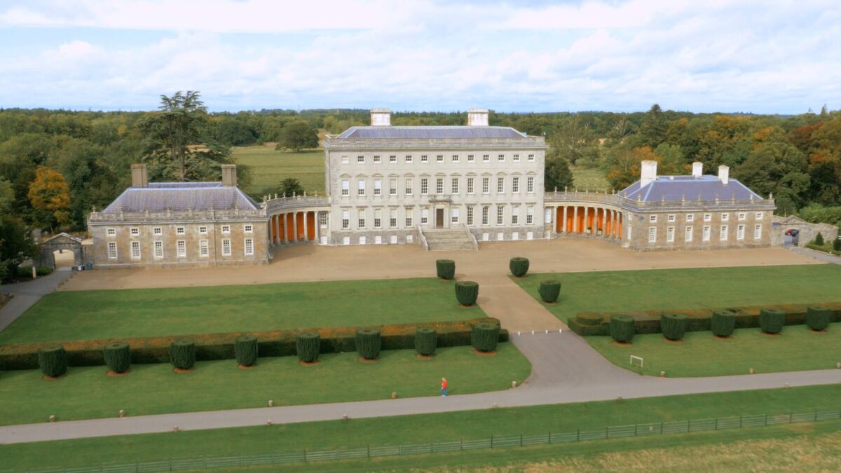 Bawn in Castletown (ballycowan By.)Bawn · 2.2 mi
 ToberaskeenSpring · 2.4 mi
 Clara Bog BoardwalkHeritage attraction · 3.0 mi
 European ashEuropean ash · 3.6 mi
 Moate HillMountain / peak · 4.1 mi