What is recorded here
Fairy fort / ringfort in Cooldrumman Upper is a fairy fort or ringfort in Cooldrumman Upper, County Sligo, Ireland. The 1835 Ordnance Survey map depicts a circular enclosure about twenty metres across, while the 1912 edition shows a linear feature ten metres long and eight metres wide. The potential monument has been levelled, leaving no visible remains at ground level.
Depicted on the 1835 edition of the OS 6'' map as a circular enclosure (diam. c.20m) while on the 1912 edition it is shown as a linear hachured feature (dims. c.10m NE-SW; c.8m NW-SE). This potential monument has been levelled and there are no remains visible at ground level.
Compiled by: Patrick F. O'Donovan
Date of upload: 21 April 2011
The monument record does not grant public access. Check the route and ask the landowner before entering private land.
- What survives
- Recorded monument
Places near here
 IndicatedFairy fort / stone ringfort · 364 yd
 CashelbaunFairy fort / stone ringfort · 795 yd
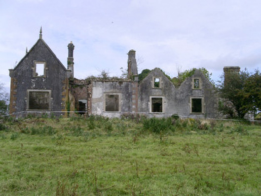 Rahelly Housecountry house · 1607 yd
 Urlar Househouse · 1709 yd
 Cat CornerWood · 1.1 mi
 Floods WoodForest · 1.2 mi
 Castle (in Ruins)Castle, unclassified · 1.4 mi
 BenbulbinMountain / peak · 1.7 mi
 BenbulbenMountain · 2.0 mi
 CastleCastle, unclassified · 2.1 mi
 Benbulbin South-East TopMountain / peak · 2.2 mi
 Finned PointHeadland · 2.3 mi