What is recorded here
Located in rough pasture. The site comprises a circular area (int. diam.31m) which is defined by a slight earthen bank (Wth 3m; H 0.5m) and external fosse (D 0.3m; Wth 2m). The site has been bisected by a field boundary oriented NNE-SSW. No evidence for an entrance or internal features.
On 2005 aerials field to west has been ploughed. From 2009 aerials show visible trace.
Compiled by: Geraldine Stout
Updated by: Christine Baker
Date of upload: 27 October 2014
The monument record does not grant public access. Check the route and ask the landowner before entering private land.
- What survives
- Recorded monument
Places near here
 Garristown Bridgebridge · 450 yd
 ChapelChurch · 1749 yd
 Architectural fragment in GarristownArchitectural fragment · 1.1 mi
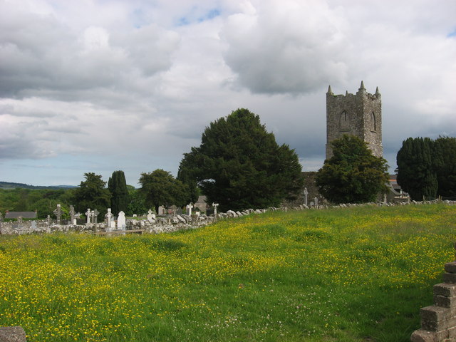 Grave YardGraveyard · 1.2 mi
 CastleCastle, unclassified · 1.5 mi
 Newtown GorseWood · 1.7 mi
 PuddenhillHeritage attraction · 1.8 mi
 The story of the milk standMemorial · 1.9 mi
 FourknocksPassage tomb · 2.2 mi
 Newtown HillMountain / peak · 2.4 mi
 Athcarne CastleCastle, tower house · 3.4 mi
 St. John's WellSpring · 3.5 mi