What is recorded here
Fairy forts hide inside ordinary farmyards, waiting for people busy enough to stop seeing them. In Coleraine that oval still belongs to the land even though the bank has thinned and the ditch has faded. The survey measured what remained, but it never asked what the fort was holding back.
Depicted on OS 1840 ed. as an irregularly shaped enclosure. Davies (ITA 1942) described the former site as an oval-shaped area (dims. c. 31m x c. 21m) enclosed by a bank (H 0.3m.) with an external fosse (max. Wth 0.91m) which by that time had been almost completely levelled.
The above description is derived from the published 'Archaeological Inventory of County Offaly' (Dublin: Stationery Office, 1997). In certain instances the entries have been revised and updated in the light of recent research.
Date of upload: 23 May 2011
The monument record does not grant public access. Check the route and ask the landowner before entering private land.
- What survives
- Recorded monument
Places near here
 European ashEuropean ash · 279 yd
 Stone CrossCross, High cross · 282 yd
 Burial mound in LoughaunBurial mound · 422 yd
 Coleraine Flour MillMill, corn · 438 yd
 Castle in ruinsCastle, unclassified · 1500 yd
 Partially hachuredBawn · 1.1 mi
 Ballyduff WoodForest · 1.3 mi
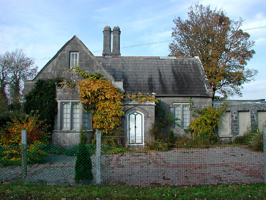 Durrow Abbeygate lodge · 1.3 mi
 St. Columba's WellSpring · 1.6 mi
 Trumpet HillMountain / peak · 2.1 mi
 Christ's WellSpring · 2.9 mi
 Grand Canal WayWalking route · 3.3 mi