What is recorded here
Cloonyconaun holds a thirty-one-metre circular rath on a NE-facing grassland slope, its bank and scarp still marking a boundary that human hands have partly erased. The gap at NNE may be an original entrance, while the quarried NW and northern tree copse show how quickly living land consumes dead form. Perhaps people entered through that gap to trade, hide or worship, then left the circle open for rain and memory. What remains is a shallow suggestion of room, waiting for imagination to complete its walls.
On a NE-facing slope in grassland. Poorly preserved circular rath (D 31m) defined by a bank, and by a scarp from SSW to WNW. A gap at NNE could be original. The monument has been quarried out at NW and is disturbed by a tree copse at N.
The above description is derived from the published 'Archaeological Inventory of County Galway Vol. II - North Galway'. Compiled by Olive Alcock, Kathy de hÓra and Paul Gosling (Dublin: Stationery Office, 1999).
Date of upload: 05 August 2010
The monument record does not grant public access. Check the route and ask the landowner before entering private land.
- What survives
- Recorded monument
Places near here
 ToberdoneyHoly well · 1190 yd
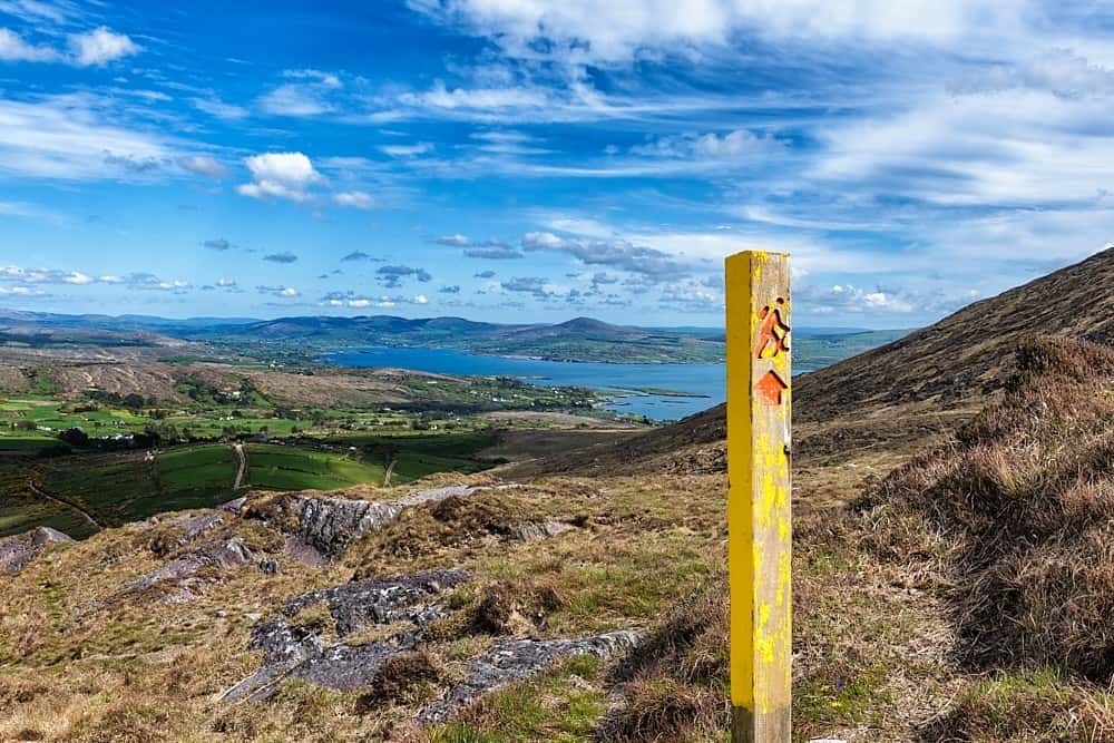 IndicatedField system · 1256 yd
 BenmoreHouse, 18th/19th century · 1.4 mi
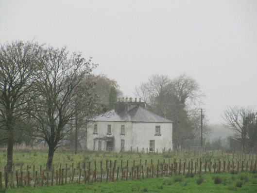 Rathglass Housecountry house · 1.5 mi
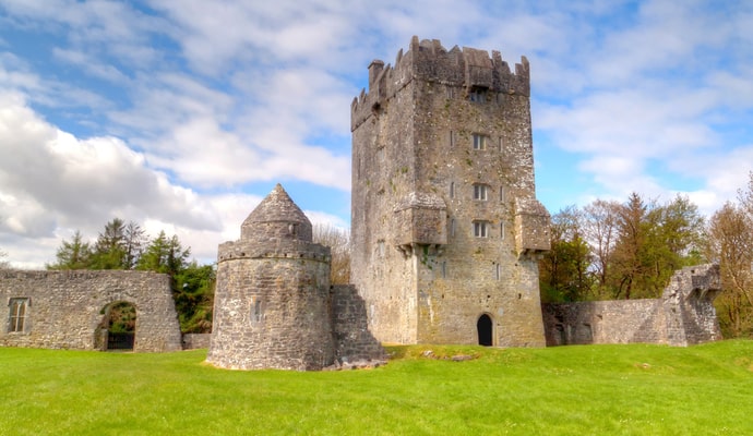 CastleCastle, unclassified · 2.2 mi
 Galboley Castle (in ruins)Castle, unclassified · 2.6 mi
 Turoe StoneHeritage attraction · 2.7 mi
 Woodlawn WoodsForest · 3.3 mi
 European Crab AppleEuropean Crab Apple · 3.6 mi
 Dartfield Horse MuseumHeritage attraction · 4.4 mi
 Battle of Aughrim Interpretative CentreMuseum · 8.4 mi
 Battle of AughrimMajor battlefield · 8.6 mi