What is recorded here
Cloonnabricka holds a broken circular rath thirty-six metres wide, its earth and stone bank surviving only from northwest through north to east while a sharp scarp completes the rest. A narrow causeway crosses the remaining fosse at the north, but a deep pit has since cut through the line toward the northeast, exposing what concealment once protected. The fort is small enough to walk beside and damaged enough to imagine, yet its shape still distinguishes human boundary from ordinary grassland.
In gently undulating grassland. Poorly preserved circular rath (D 36m) defined by a bank of earth and stone and external fosse. The bank survives from NW through N to E; elsewhere a scarp forms the enclosing element. The fosse is extant only from NW to N; a causeway crosses it at N. A deep pit has been dug along the line of it from N to NE.
The above description is derived from the published 'Archaeological Inventory of County Galway Vol. II - North Galway'. Compiled by Olive Alcock, Kathy de hÓra and Paul Gosling (Dublin: Stationery Office, 1999).
Date of upload: 05 August 2010
The monument record does not grant public access. Check the route and ask the landowner before entering private land.
- What survives
- Recorded monument
Places near here
 Killian Housegate lodge · 1189 yd
 IndicatedFairy fort / ringfort · 1207 yd
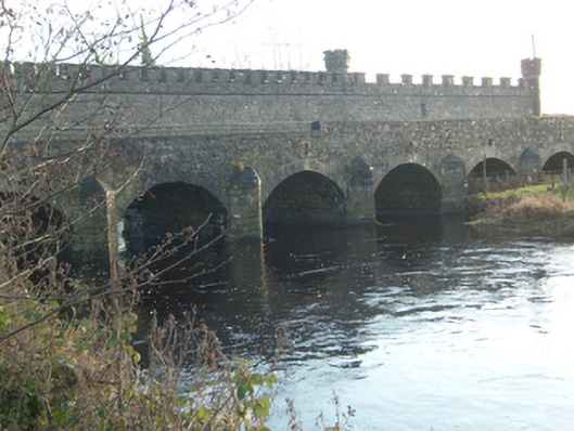 Ballinamore Bridgebridge · 1469 yd
 Castle ffrenchCastle, unclassified · 2.2 mi
 Tower (in Ruins)Castle, tower house · 2.2 mi
 Yellow WellHoly well · 2.3 mi
 Cloonavihony WoodForest · 2.6 mi
 Ballinlass Eviction MemorialMemorial · 3.6 mi
 Aughrane WoodsForest · 4.2 mi
 Inch IslandIsland · 5.3 mi
 Mount MaryMountain / peak · 5.7 mi
 Sally IslandIslet · 6.3 mi