What is recorded here
In gently undulating grassland. Poorly preserved circular rath (D 36m) defined by a bank of earth and stone and external fosse. The bank survives from NW through N to E; elsewhere a scarp forms the enclosing element. The fosse is extant only from NW to N; a causeway crosses it at N. A deep pit has been dug along the line of it from N to NE.
The above description is derived from the published 'Archaeological Inventory of County Galway Vol. II - North Galway'. Compiled by Olive Alcock, Kathy de hÓra and Paul Gosling (Dublin: Stationery Office, 1999).
Date of upload: 05 August 2010
A local fairy fort (ringfort/rath); wider significance not recorded.
The monument record does not grant public access. Check the route and ask the landowner before entering private land.
- What survives
- Recorded monument
Places near here
 Killian Housegate lodge · 1189 yd
 IndicatedFairy fort / ringfort · 1207 yd
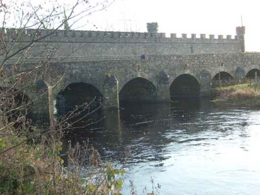 Ballinamore Bridgebridge · 1469 yd
 Castle ffrenchCastle, unclassified · 2.2 mi
 Tower (in Ruins)Castle, tower house · 2.2 mi
 Yellow WellHoly well · 2.3 mi
 Cloonavihony WoodForest · 2.6 mi
 Ballinlass Eviction MemorialMemorial · 3.6 mi
 Aughrane WoodsForest · 4.2 mi
 Inch IslandIsland · 5.3 mi
 Mount MaryMountain / peak · 5.7 mi
 Sally IslandIslet · 6.3 mi