What is recorded here
No visible trace remains in the rough pasture beside Lough Erril, though maps from 1835 to 1945 marked a small rectangular fort where the ground still holds a faint memory of shape. The lake breathes mist across the low land at dusk, suggesting the buried bank may have watched the water rather than resisted it. People walked past the platform for generations, calling it a fort because boundaries matter more than proof in country places. What is lost has not stopped occupying the field; it has simply stopped answering every question.
Situated in pasture in a low-lying landscape with the W shore of Lough Erril c. 30m to the NE. A small subrectangular embanked enclosure (ext. dims c. 25m NW-SE; c. 16m NE-SW) is depicted on the 1835 edition of the OS 6-inch map where it is described as a ‘Fort’ and it is depicted as an oval hachured feature on the 1945 revision. It was recorded as a slightly raised platform that was known locally as a ‘Fort’ in the 1940s (OSFM). No archaeological feature is visible at ground level in rough pasture, and its true character is not known.
The above description is derived from 'The Archaeological Inventory of County Leitrim' compiled by Michael J. Moore (Dublin: Stationery Office, 2003). In certain instances the entries have been revised and updated in the light of recent research.
Compiled by: Michael Moore
Date of upload/revision: 15 December 2011
Amended: 6 December 2109
The monument record does not grant public access. Check the route and ask the landowner before entering private land.
- What survives
- Recorded monument
Places near here
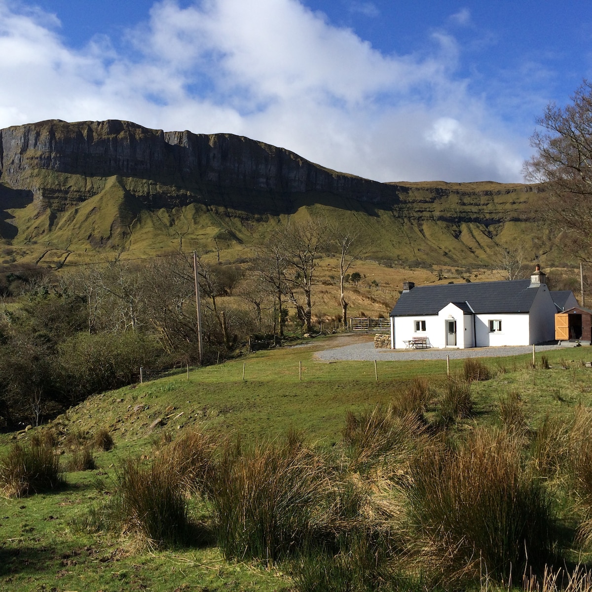 IndicatedFairy fort / earthen ringfort · 665 yd
 Sweathouse in CloonfinnanSweathouse · 1377 yd
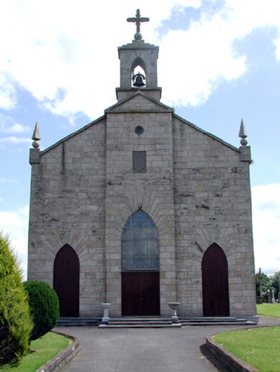 Catholic Church of the Immaculate Conceptionchurch/chapel · 1.4 mi
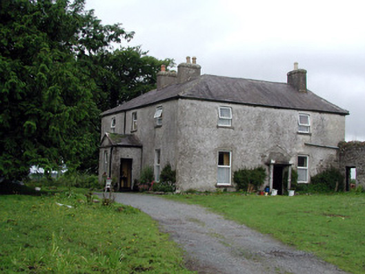 Gort Housefarm house · 2.1 mi
 Tom Dunphy MemorialMemorial · 2.3 mi
 Turlough O'Carolan MonumentHeritage attraction · 2.8 mi
 Wildlife AreaNature reserve · 3.0 mi
 Declaration of IndependenceMemorial · 3.1 mi
 Monkey-puzzleMonkey-puzzle · 3.7 mi
 CastleCastle, tower house · 3.8 mi
 Little IslandIslet · 3.9 mi
 Duck IslandIslet · 4.0 mi