What is recorded here
The 49m circular rath in Clonbrock Demesne has lost most of its shape, leaving only a faint bank from south through west to north and a shallow fosse at the northwest. It sits in level grassland beside a later icehouse, large enough to have held a home, a yard and the ordinary noise of lives that no longer leave a trace. What remains is a suggestion rather than a wall, close enough to touch but refusing to explain itself.
In level grassland within the former Clonbrock estate. Very poorly preserved circular rath (D 49m) defined by a bank and external fosse. The bank survives from S through W to N and the fosse at NW. No visible surface trace survives elsewhere. An icehouse (GA060-044002-) associated with the nearby mansion lies to SE.
The above description is derived from the published 'Archaeological Inventory of County Galway Vol. II - North Galway'. Compiled by Olive Alcock, Kathy de hÓra and Paul Gosling (Dublin: Stationery Office, 1999).
Date of upload: 05 August 2010
The monument record does not grant public access. Check the route and ask the landowner before entering private land.
- What survives
- Recorded monument
Places near here
 Clonbrock CastleCastle, tower house · 291 yd
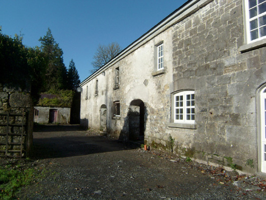 Clonbrockoutbuilding · 335 yd
 Sweet ChestnutSweet Chestnut · 387 yd
 SycamoreSycamore · 626 yd
 Caltraghpasty FortArchaeological place · 914 yd
 Enclosure in Clonbrock DemesneEnclosure · 1607 yd
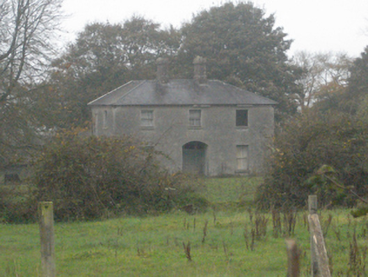 Pallashouse · 1655 yd
 Site of Doon CastleCastle, unclassified · 2.2 mi
 Kilconnell AbbeyHeritage attraction · 5.1 mi
 Battle of Aughrim Interpretative CentreMuseum · 7.6 mi
 Battle of AughrimMajor battlefield · 8.2 mi
 Urraghry HillMountain / peak · 8.4 mi