What is recorded here
Three banks and two ditches still circle a twenty-six metre ridge in Cartron, marking a fort built to resist both invasion and forgetting. A narrow rectangular hollow cuts the grass like a buried tongue, perhaps a passage dug for privacy or panic. The outer bank has surrendered to weather except along the eastern face, where the entrance still points southeast as if waiting for someone to leave before returning.
On a ridge in undulating grassland. A well-preserved circular rath (D 26m) defined by three banks and two intervening fosses. The outermost bank survives only from NNE to ENE. There is an entrance at SE. Within the interior is a rectangular hollow (L 7m, Wth 2m), its long axis running N-S; possibly the remains of a Man-made underground passage. An enclosure (GA099-055002-) lies c. 5m to N.
The above description is derived from the published 'Archaeological Inventory of County Galway Vol. II - North Galway'. Compiled by Olive Alcock, Kathy de hÓra and Paul Gosling (Dublin: Stationery Office, 1999).
Date of upload: 05 August 2010
The monument record does not grant public access. Check the route and ask the landowner before entering private land.
- What survives
- Recorded monument
Places near here
 Enclosure in Cartron (clonmacnowen By.)Enclosure · 52 yd
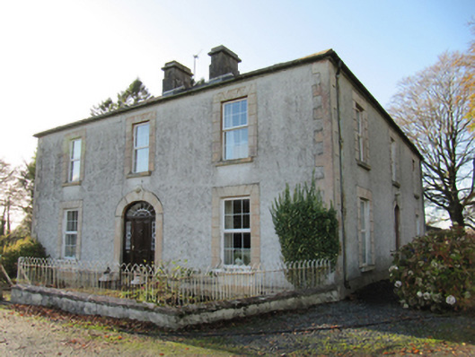 Cartron Househouse · 520 yd
 Quarry in BallyterrimQuarry · 805 yd
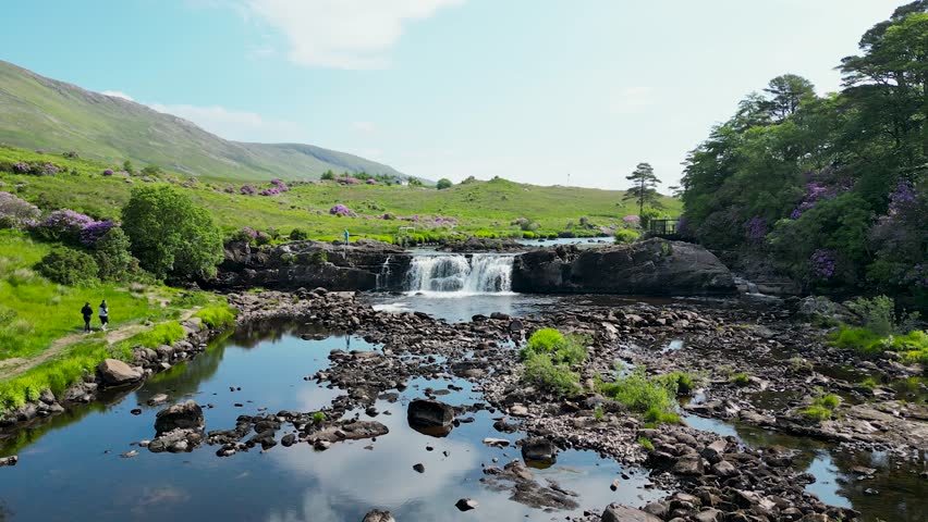 LisnafairyFairy fort / ringfort · 1290 yd
 Bawn in Cooltymurraghy (clonmacnowen By.)Bawn · 1683 yd
 Park CastleCastle, hall-house · 1.3 mi
 The bloody HollowHeritage attraction · 2.1 mi
 Battle of AughrimMajor battlefield · 2.2 mi
 European BeechEuropean Beech · 2.3 mi
 European YewEuropean Yew · 2.4 mi
 Urraghry HillMountain / peak · 2.6 mi
 Battle of Aughrim Interpretative CentreMuseum · 2.8 mi