What is recorded here
No visible castle in Galway, no grand tower, no royal claim. A hidden life in level ground, two banks and a ditch, forty metres across. The boundary cuts it now, but the shape still holds. What was hidden there is not lost, only waiting for someone steady enough to listen.
In level grassland. Irregularly shaped poorly preserved rath (N-S 45m, E-W 41.5m) defined by two banks and an intervening fosse. The td. boundary cuts the enclosing elements at E.
The above description is derived from the published 'Archaeological Inventory of County Galway Vol. II - North Galway'. Compiled by Olive Alcock, Kathy de hÓra and Paul Gosling (Dublin: Stationery Office, 1999).
Date of upload: 05 August 2010
The monument record does not grant public access. Check the route and ask the landowner before entering private land.
- What survives
- Recorded monument
Places near here
 Enclosure in Bredagh (kilconnell By.)Enclosure · 822 yd
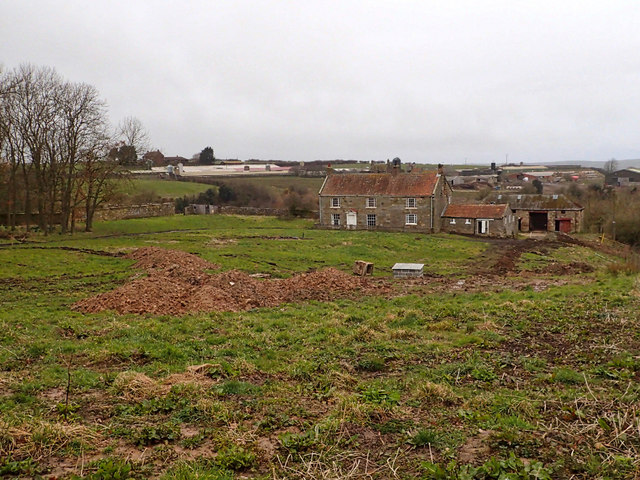 Site of NunneryReligious house, unclassified · 927 yd
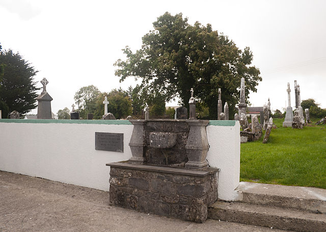 Quarry in CaltraQuarry · 1238 yd
 Religious houseReligious house, Carmelite friars · 1602 yd
 Clonbrock CastleCastle, tower house · 2.4 mi
 Sweet ChestnutSweet Chestnut · 2.6 mi
 Castle (Site of)Castle, unclassified · 2.6 mi
 SycamoreSycamore · 2.8 mi
 Ballinlass Eviction MemorialMemorial · 4.6 mi
 Kilconnell AbbeyHeritage attraction · 7.3 mi
 Mount MaryMountain / peak · 9.1 mi
 Sally IslandIslet · 9.9 mi