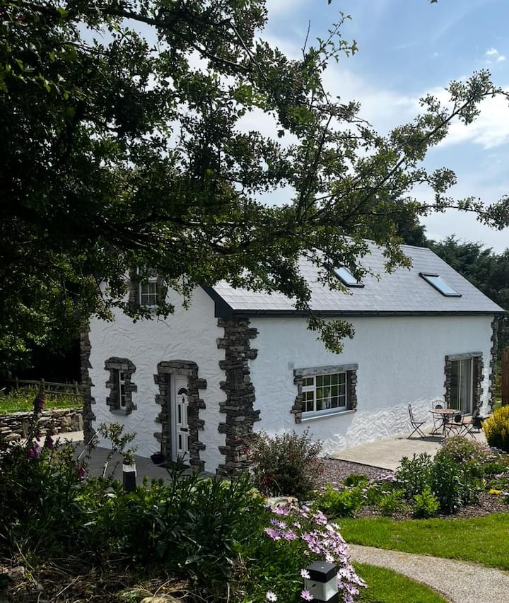
What is recorded here
On level ground. Faint traces of an enclosure consisting of a low circular raised area (D 26m) defined from NW through E to S by a scarp, and elsewhere by a modern curving field bank. According to the landowner, the monument was levelled in the late 1930s.
The above description is derived from the published 'Archaeological Inventory of County Galway Vol. II - North Galway'. Compiled by Olive Alcock, Kathy de hÓra and Paul Gosling (Dublin: Stationery Office, 1999).
Date of upload: 05 August 2010
The monument record does not grant public access. Check the route and ask the landowner before entering private land.
- What survives
- Recorded monument
Places near here
 Ballytoohy FortArchaeological place · 421 yd
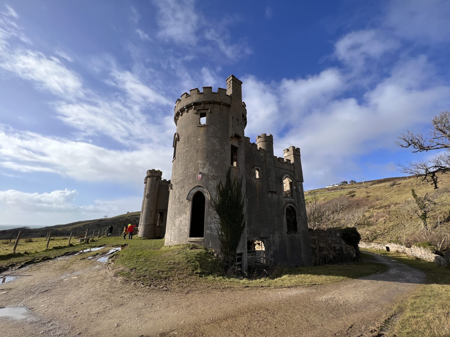 Mountain FortArchaeological place · 534 yd
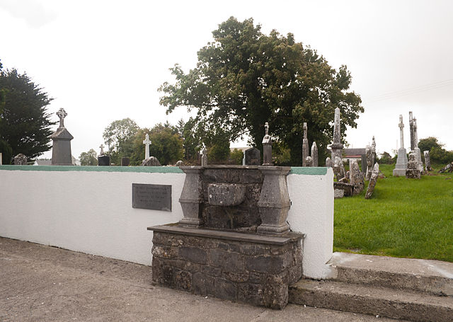 Quarry in CaltraQuarry · 1.1 mi
 Religious houseReligious house, Carmelite friars · 1.4 mi
 Tower (in Ruins)Castle, tower house · 2.2 mi
 Clonbrock CastleCastle, tower house · 2.4 mi
 Sweet ChestnutSweet Chestnut · 2.5 mi
 SycamoreSycamore · 2.8 mi
 Ballinlass Eviction MemorialMemorial · 4.7 mi
 Kilconnell AbbeyHeritage attraction · 7.4 mi
 Mount MaryMountain / peak · 8.9 mi
 Sally IslandIslet · 9.6 mi
Other information
Photo: Credit not shown in the picture search · Rights wording not checked; contact us if this picture should be removed