What is recorded here
Fairy fort in Carrowroe, County Galway: an irregular ringfort about 45m by 40m in grassland west of Carrowroe House, now reduced to a slight southern rise. Locals still call it a fort, as if the ground remembered walls the grass has taken back.
In grassland W of Carrowroe House. Marked on 1st ed. of OS 6-inch map as an irregularly shaped enclosure (c. 45m by c. 40m) cut by a field boundary at NW and NE. Described locally as the site of a 'fort', but all that is visible is a slight rise in the ground surface marking its S limis. Another earthwork (GA006-027----) lay c. 80m to NNW.
The above description is derived from the published 'Archaeological Inventory of County Galway Vol. II - North Galway'. Compiled by Olive Alcock, Kathy de hÓra and Paul Gosling (Dublin: Stationery Office, 1999).
Date of upload: 05 August 2010
The monument record does not grant public access. Check the route and ask the landowner before entering private land.
- What survives
- Recorded monument
Places near here
 R.C. ChapelChapel · 1244 yd
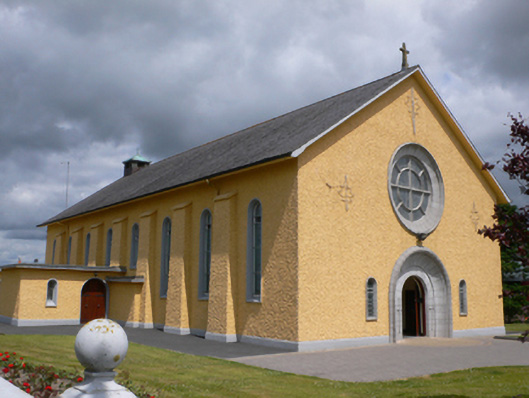 Saint Therese's Catholic Churchchurch/chapel · 1476 yd
 Enclosure in CorraloughEnclosure · 1511 yd
 Enclosure in BallyroeEnclosure · 1.0 mi
 CastleCastle, unclassified · 1.9 mi
 Castle (in ruins)Castle, unclassified · 2.1 mi
 Rook HillMountain / peak · 2.1 mi
 Slieve DartMountain / peak · 4.9 mi
 Site of Killomaine Grave YardArchaeological place · 5.8 mi
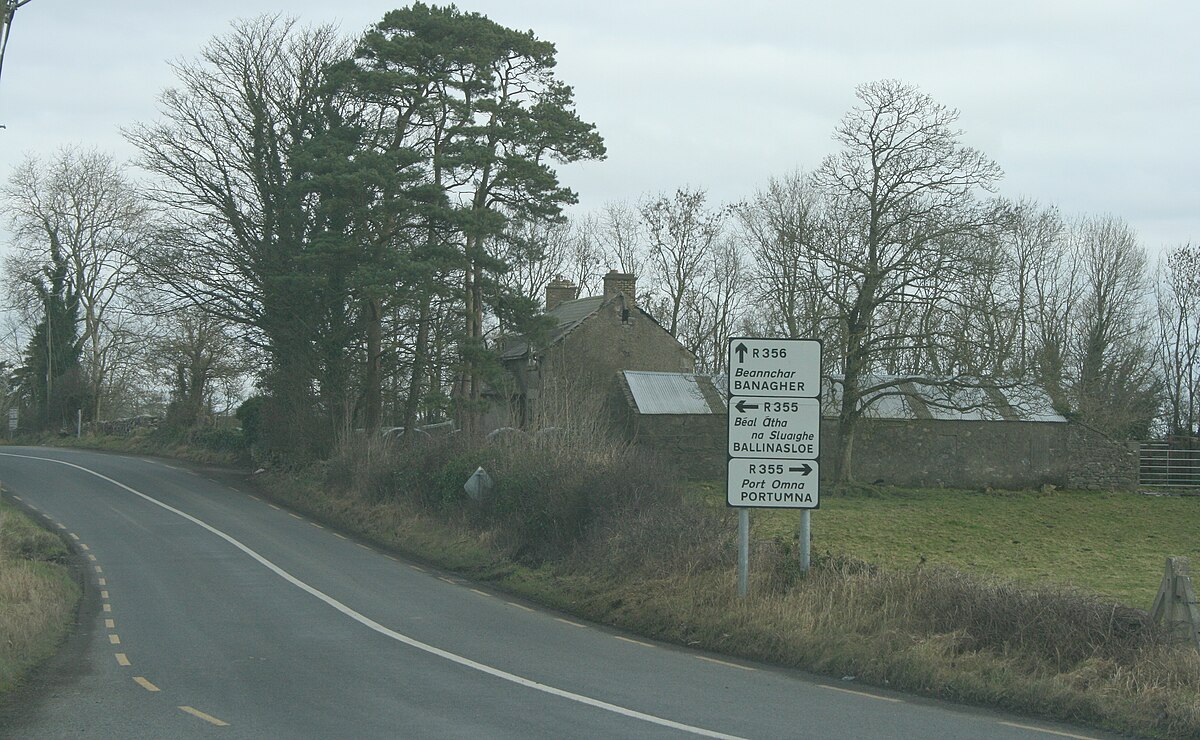 IndicatedCrannog · 1.1 mi
 KilnKiln · 1.4 mi
 Enclosure in Kilmore (ballymoe By.)Enclosure · 1.4 mi