What is recorded here
Carrownagoul holds two joined ringforts, one fifty metres across, on low ground where hazel still grows thick. The western half has vanished beneath soil and roots, but the eastern curve remains hidden beneath leaves and shadow. People may have lived there before the trees closed the gate, raising children or losing arguments under open sky. The forges of memory have gone cold, yet the shape endures, waiting for someone reckless enough to walk its hidden line.
On level low-lying ground covered in hazel with some more open pasture immediately to the W. Depicted on the first edition (1842) of the OS 6-inch map as a large oval ringfort (est. max. diams. c. 50m ESE-WNW; c. 40m NNE-SSW) and shown abutting second ringfort (CL010-085----) at W. The W portion of the monument is not visible at ground level and dense overgrowth obscures the rest of the site area.
Compiled by: Gearóid Conroy and Conn Herriott
Date of upload: 12 May 2023
The monument record does not grant public access. Check the route and ask the landowner before entering private land.
- What survives
- Recorded monument
Places near here
 Enclosure in CarrownagoulEnclosure · 515 yd
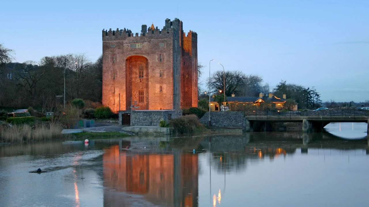 Castle (in ruins)Castle, tower house · 674 yd
 IndicatedFairy fort / stone ringfort · 1.1 mi
 R.C. Chapel (in ruins)Church · 1.1 mi
 Burren National ParkNature reserve · 1.3 mi
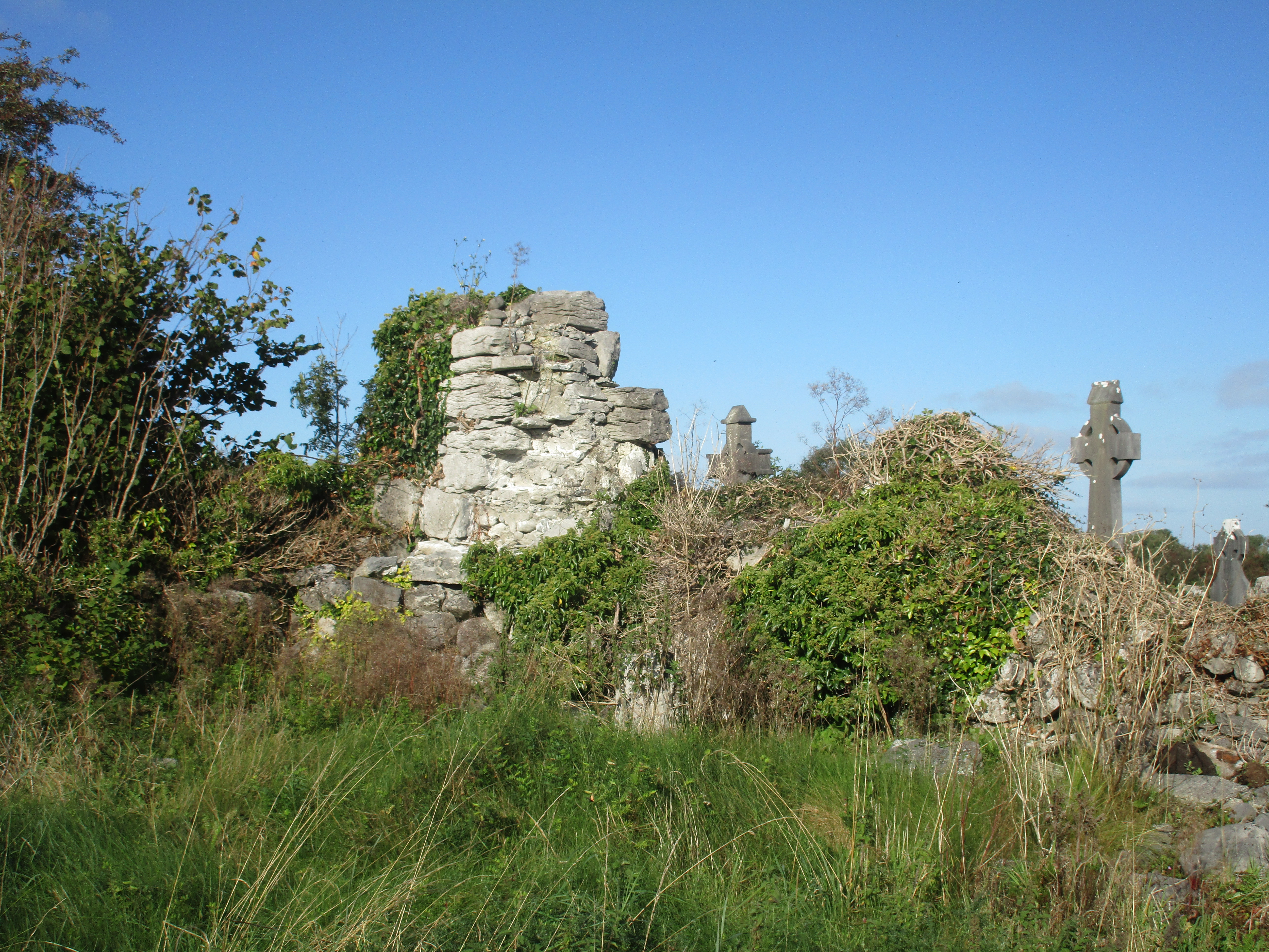 Church (in Ruins)Church · 1.3 mi
 Slieve RoeMountain / peak · 1.4 mi
 Mullagh MoreMountain / peak · 1.9 mi
 Cloondooan Castle (in ruins)Castle, tower house · 1.9 mi
 Kilnaloone GraveyardArchaeological place · 2.5 mi
 Father Ted's HouseHeritage attraction · 2.8 mi
 Kilmacduagh Monastic SiteVisitor information · 3.8 mi