What is recorded here
Situated in field on E outskirts of Carnew Village and immediately W of Glendale housing estate. A small stream running E-W in field 50m to N is depicted on the 1838 ed. OS 6-inch map. Carnew Castle (WI047-009----) lies 650m to W. An L-shaped building and small square shaped field to S of building is depicted at the location of the cropmark on the 1838 ed. OS 6-inch map.
Possible levelled ringfort consisting of a circular shaped area (approx. diam. 32m) defined by a broad well preserved cropmark with traces of an external enclosing element visible as a faint cropmark. Entrance gap clearly visible at SE. Outline of levelled monument visible on earlier OSI orthophotos.
Compiled by: Caimin O'Brien with details and photos kindly supplied by Dinny Kinsella and Barry Lacey
Date of upload: 23 August 2018
The monument record does not grant public access. Check the route and ask the landowner before entering private land.
- What survives
- Recorded monument
Places near here
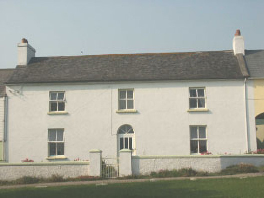 worker's houseworker's house · 225 yd
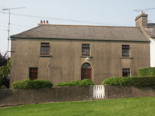 Sycamore Lodgeworker's house · 259 yd
 Enclosure in TombreenEnclosure · 1.7 mi
 Enclosure in CoolattinEnclosure · 1.8 mi
 Blue SchoolMemorial · 2.4 mi
 Saint Brigid's WellSpring · 2.4 mi
 Carrig WoodForest · 2.5 mi
 Ballyknocker WoodWood · 2.8 mi
 SlievegowerMountain / peak · 3.0 mi
 SlieveboyMountain / peak · 3.7 mi
 1798 MemorialMemorial · 6.2 mi
 Clonogan Castle (site of)Castle, unclassified · 6.5 mi