What is recorded here
King's Fort in Caltraghcreen, Moneen stands thirty-four metres wide on a sunny slope, guarded by two banks and two ditches that challenge any careless visitor. Its preserved shape suggests proud ownership, perhaps a local chieftain or a forgotten royal agent, while the hidden underground passage invites speculation about secret movement or fearful retreat. The fort does not whisper fairy tales; it displays human ambition, engineering and the enduring power of boundary-making.
On SE-facing slope of a hill in grassland. Known locally as 'King's Fort', this is a well-preserved circular rath (D 34.5m) defined by an inner scarp, two banks and two intervening fosses. Traces of a possible third fosse are visible only at N. There is a probable Man-made underground passage (GA059-008001-) in the interior
The above description is derived from the published 'Archaeological Inventory of County Galway Vol. II - North Galway'. Compiled by Olive Alcock, Kathy de hÓra and Paul Gosling (Dublin: Stationery Office, 1999).
Date of upload: 05 August 2010
The monument record does not grant public access. Check the route and ask the landowner before entering private land.
- What survives
- Recorded monument
Places near here
 Church in Killamude WestChurch · 1478 yd
 Mass-rock in Killamude EastMass-rock · 1.1 mi
 mill (water)mill (water) · 1.1 mi
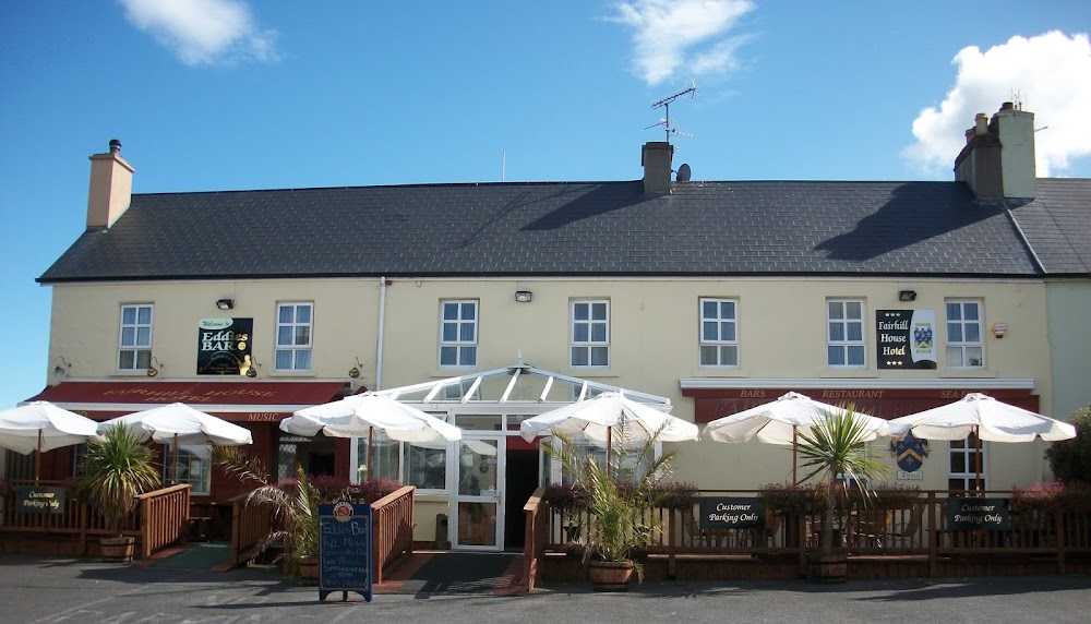 Enclosure in FairhillEnclosure · 1.2 mi
 Menlough IRAMemorial · 1.3 mi
 Castle (Site of)Castle, unclassified · 3.3 mi
 Castle (in ruins)Castle, unclassified · 3.4 mi
 Mountbellew ForestForest · 3.9 mi
 SycamoreSycamore · 4.0 mi
 Kilconnell AbbeyHeritage attraction · 8.0 mi
 Battle of Aughrim Interpretative CentreMuseum · 12 mi
 Battle of AughrimMajor battlefield · 12 mi