What is recorded here
Cahernaglass is a ruined ringfort in County Galway grassland, its thirty-five metre stone wall collapsed from northeast through east to southwest while a road boundary cuts across the remains. Another ringfort sits two hundred and seventy metres southeast, suggesting a small cluster of fortified lives rather than a lonely outlier. The missing northwest section may have vanished under ploughs, foot traffic or time, but the surviving curve still marks where people once drew a line between inside and outside.
In grassland. Poorly preserved roughly circular cashel (D c. 35m) defined by a collapsed drystone wall from NE through E to SW. The td. boundary cuts the monument at NE and SW and no visible surface trace survives to NW of it. A ringfort (GA058-039----) lies c. 270m to SE.
The above description is derived from the published 'Archaeological Inventory of County Galway Vol. II - North Galway'. Compiled by Olive Alcock, Kathy de hÓra and Paul Gosling (Dublin: Stationery Office, 1999).
Date of upload: 05 August 2010
The monument record does not grant public access. Check the route and ask the landowner before entering private land.
- What survives
- Recorded monument
Places near here
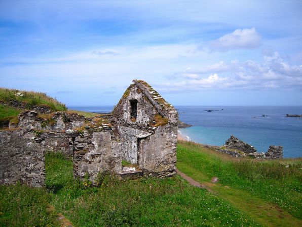 Settlement desertedSettlement deserted, medieval · 502 yd
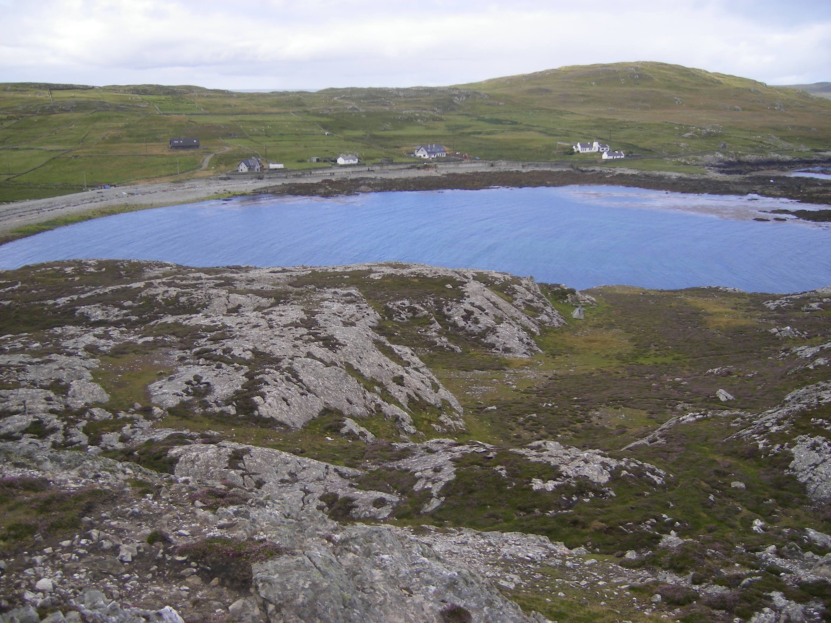 IndicatedFairy fort / ringfort · 1419 yd
 CashlaundarraghCastle · 1445 yd
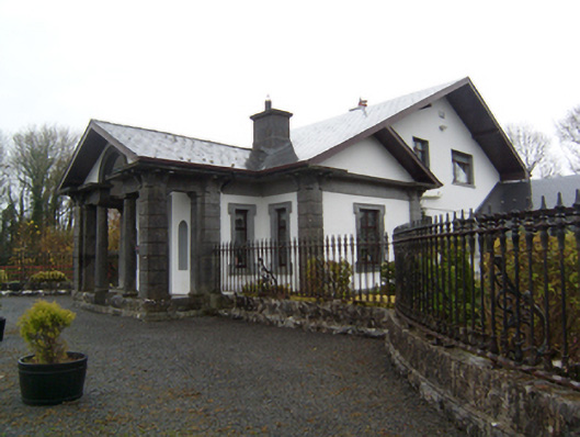 Ryehillgate lodge · 1.8 mi
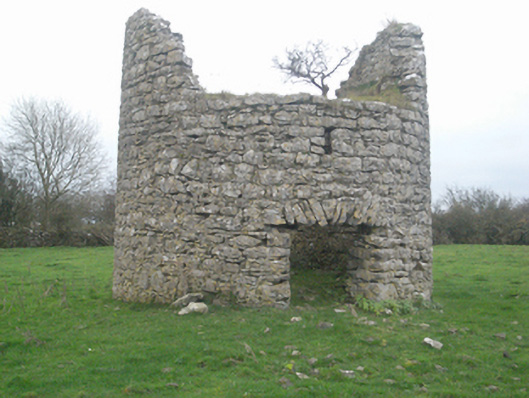 mill (wind)mill (wind) · 1.9 mi
 Castle FrenchCastle, unclassified · 2.0 mi
 SycamoreSycamore · 2.2 mi
 Knockmoy AbbeyHeritage attraction · 2.2 mi
 Common WhitebeamCommon Whitebeam · 2.2 mi
 Menlough IRAMemorial · 6.5 mi
 Mass RockNamed rock · 12 mi
 St. Bernards WellHoly well · 1468 yd