What is recorded here
Half a metre of earth and a forgotten doorway on Busherstown Hill. The fort vanished from early maps yet local people still called it an ancient fort, proving human memory held what surveyors dropped. It faces every direction but hides from most eyes, waiting for someone willing to look twice.
Situated on top of Busherstown Hill with good views in all directions. Not visible at ground level. Referred to as an 'Ancient Fort' in the OS Field Name Books 1838-40. This monument is not indicated on first two editions of the Ordance Survey 6-inch maps. Described in 1984-85 as an oval slightly hollow area (diam. 32m) enclosed by a small bank (H 0.7m) with possible entrance gap (Wth 1.8m) at SE (Stout 1984-5).
The above description is derived from the published 'Archaeological Inventory of County Offaly' (Dublin: Stationery Office, 1997). In certain instances the entries have been revised and updated in the light of recent research.
Date of upload: 23 May 2011
The monument record does not grant public access. Check the route and ask the landowner before entering private land.
- What survives
- Recorded monument
Places near here
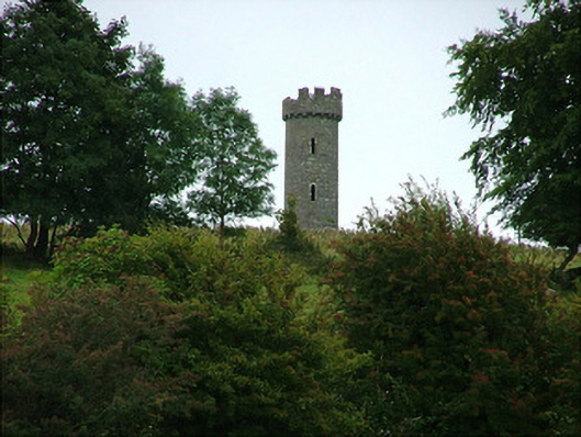 Busherstown Towerfolly · 164 yd
 Enclosure in BusherstownEnclosure · 507 yd
 Enclosure in Moatquarter (rathnaveoge Par.)Enclosure · 693 yd
 Busherstown Housecountry house · 704 yd
 MoatCastle, motte · 783 yd
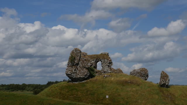 CastleCastle, unclassified · 1.5 mi
 BenduffMountain / peak · 2.1 mi
 Longford WoodForest · 2.8 mi
 Borrisnoe MountainMountain / peak · 3.4 mi
 Kyleroe WoodWood · 4.2 mi
 Thomas MacDonagh Heritage CentreMuseum · 5.9 mi
 MacDonagh HouseMemorial · 5.9 mi