What is recorded here
Recorded in the Ordnance Survey letters of 1838-40 as ‘about half a mile from Rathnew on to Wicklow, it [a stream] passes through what appears to me to have been an ancient rath, a segment of which remains yet on the right hand, with part of a trench five feet [1.5m] wide at bottom, about eight feet [2.4m] deep and cut through the solid rock. This portion of the old fort was called Purteen, i.e. Little Port or Fort, and hence the townland name of Burkeen, on which it is, but properly Purteen’ (O’Flanagan 1928, 87).
Date of upload: 22 October 2012
The monument record does not grant public access. Check the route and ask the landowner before entering private land.
- What survives
- Recorded monument
Places near here
 Church in Glebe (newcastle By., Wickow Rural Ed)Church · 395 yd
 Enclosure in KnockrobinEnclosure · 983 yd
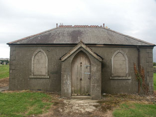 Rathnew and Wicklow Cemeterybuilding misc · 1202 yd
 Font in CommonsFont · 1333 yd
 Round MountCastle, motte · 1468 yd
 Black Castle (in ruin)Castle, Anglo-Norman masonry castle · 1.5 mi
 European YewEuropean Yew · 1.6 mi
 Sessile OakSessile Oak · 1.6 mi
 Glen Beach Cliff WalkWalking route · 2.4 mi
 Silver StrandBeach / strand · 3.2 mi
 Kilpoole BeachBeach / strand · 3.5 mi
 Carrick MountainMountain / peak · 4.1 mi