What is recorded here
An unknown human hand shaped the earth into a circle beside the water, but greed and time have bitten through the wall until only a scarred slope remains. The fort is no longer a fort in any honest sense, yet the pond still holds the shape of the hole cut from it. What was taken is gone from the ground and scattered into roads, walls or fields elsewhere. The circle lives only in the memory of the land and the anger of the loss.
On a low hillock in grassland adjacent to a small pond. Poorly preserved subcircular rath (N-S 32m, E-W 28m) defined by a degraded bank from E through S to NW; elsewhere a much-quarried scarp forms the enclosing element. The interior has also been extensively quarried.
The above description is derived from the published 'Archaeological Inventory of County Galway Vol. II - North Galway'. Compiled by Olive Alcock, Kathy de hÓra and Paul Gosling (Dublin: Stationery Office, 1999).
Date of upload: 05 August 2010
The monument record does not grant public access. Check the route and ask the landowner before entering private land.
- What survives
- Recorded monument
Places near here
 LishonaghFairy fort / earthen ringfort · 612 yd
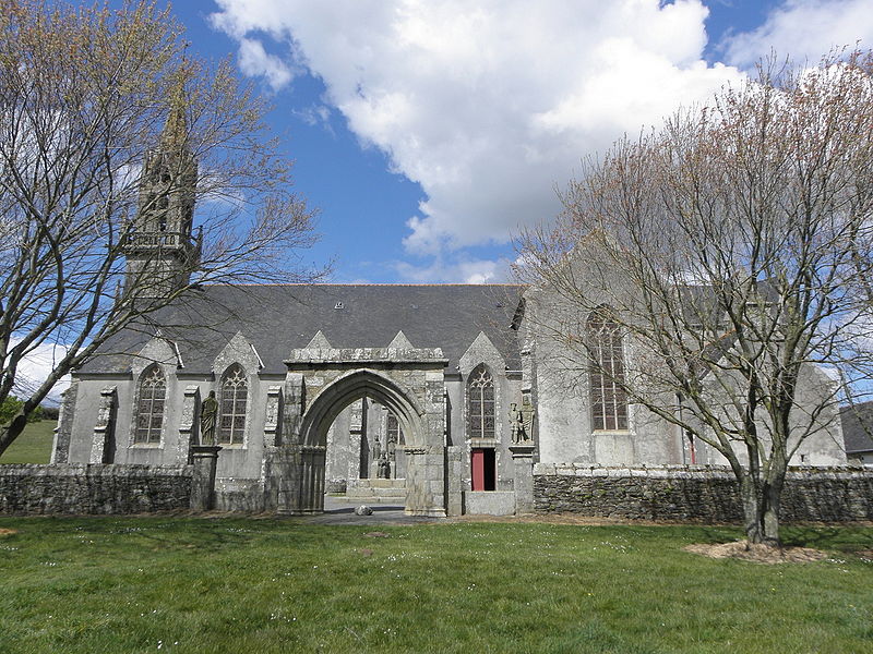 Site of R.C. ChapelChapel · 1165 yd
 Clonbrockgate lodge · 1752 yd
 South Parkhouse · 1.6 mi
 Clonbrock CastleCastle, tower house · 1.8 mi
 Sweet ChestnutSweet Chestnut · 1.8 mi
 Tower (in Ruins)Castle, tower house · 2.0 mi
 SycamoreSycamore · 2.1 mi
 Inch IslandIsland · 4.4 mi
 Clooncoran IslandIsland · 6.1 mi
 Ballinlass Eviction MemorialMemorial · 6.4 mi
 Kilconnell AbbeyHeritage attraction · 6.9 mi