What is recorded here
Bullaun holds a faded ringfort where a collapsed grassed wall still circles a low rise. Its stone-lined entrances face northeast and east-southeast, while an underground passage cuts through the interior. The fort has lost much of its shape, but it keeps its boundary and shadow.
On a low rise in grassland. Poorly preserved circular cashel (D 37m) defined by a collapsed grassed-over drystone wall. Stone-lined entrances at NE and ESE appear to be original. There is a Man-made underground passage (GA057-058001-) within the interior and a series of grass-covered stones: possibly foundation stones, however, no coherent pattern is discernible
The above description is derived from the published 'Archaeological Inventory of County Galway Vol. II - North Galway'. Compiled by Olive Alcock, Kathy de hÓra and Paul Gosling (Dublin: Stationery Office, 1999).
Date of upload: 05 August 2010
The monument record does not grant public access. Check the route and ask the landowner before entering private land.
- What survives
- Recorded monument
Places near here
 IndicatedEnclosure · 339 yd
 Tober PatrickHoly well · 431 yd
 Annagh Girls' National Schoolschool · 1519 yd
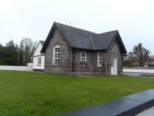 Annagh Boys' National Schoolschool · 1610 yd
 Corrofin CastleCastle · 2.3 mi
 Common WhitebeamCommon Whitebeam · 2.4 mi
 SycamoreSycamore · 2.4 mi
 Castle (in ruins)Castle, tower house · 2.5 mi
 Knockmoy AbbeyHeritage attraction · 4.4 mi
 Kilcoona Round TowerHeritage attraction · 8.4 mi
 Mass RockNamed rock · 9.1 mi
 Ballinduff BayBay · 9.2 mi