What is recorded here
Bohernabreena, County Dublin: a ringfort, 30m by 20m, level inside, now absent from the ground but still drawn on the 1937 map. The grass slopes west, rough and unsteady, the kind of place where a fence line or a forgotten field edge could have become a fort in the telling. If people lived there, they lived briefly, or the hill took the proof back.
Situated in steeply sloping grassland that falls away to the W. Shown as a hachured oval enclosure in rough pasture on the 1937 OS 6-inch map. Described by Healy (1975, 1-19) as a ringfort with a level interior (dims. L 30m; Wth 20m). There are no visible remains at ground level.
Compiled by Geraldine Stout
Date of upload: 25th April 2012
This remains an important historical record, but the official description says the monument is no longer visible or has been destroyed. The monument record does not grant public access. Check the route and ask the landowner before entering private land.
- What survives
- No visible remains or recorded as destroyed
Places near here
 Cist in GlassamuckyCist · 356 yd
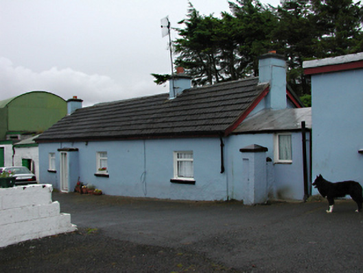 farm housefarm house · 434 yd
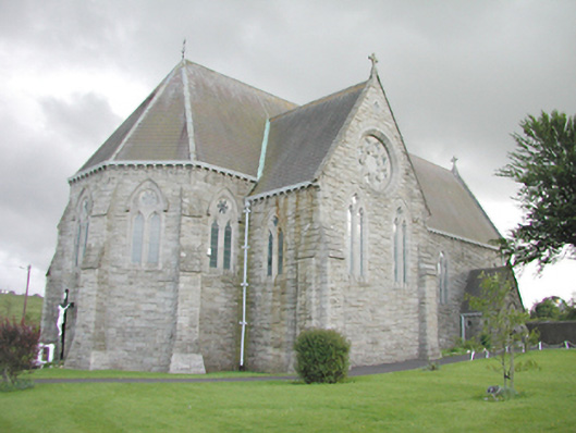 Saint Anne's Catholic Churchchurch/chapel · 720 yd
 Carty's CastleRuins · 1076 yd
 Slieve GorraMountain / peak · 1451 yd
 Waterfall viewing pointHeritage attraction · 1640 yd
 Hellfire WoodForest · 1.1 mi
 St Columkilles WellHoly well · 1.1 mi
 Montpelier HillMountain / peak · 1.2 mi
 Jim Lawlor Bridge PlaqueVisitor information · 1.2 mi
 Gary Miller MemorialMemorial · 1.5 mi
 Dublin Mountains Way - Hellfire & Massey spurWalking route · 1.5 mi