What is recorded here
Billymore and Carrowntober still debate whether the fort belongs to either town. The boundary line cut through the middle of the ring, so both sides claimed it and neither side could point to the exact centre. The fort disappeared from the land but never stopped appearing in argument.
On a rise in rough scrubland. Marked on 1st ed. of OS 6-inch map as a circular enclosure (D c. 25m). No visible surface trace survives.
The above description is derived from the published 'Archaeological Inventory of County Galway Vol. I - West Galway'. Compiled by Paul Gosling (Dublin: Stationery Office, 1993).
Date of upload: 05 August 2010
The monument record does not grant public access. Check the route and ask the landowner before entering private land.
- What survives
- Recorded monument
Places near here
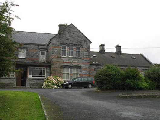 Oughterard Railway Stationrailway station · 1145 yd
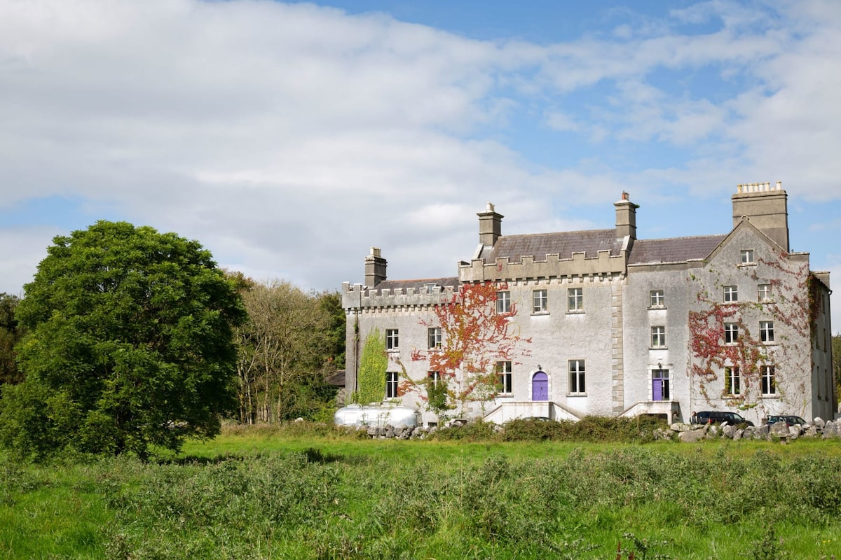 Enclosure in Cregg (moycullen By.)Enclosure · 1436 yd
 St. Patricks StoneRitual site, holy/saint's stone · 1443 yd
 Ardvarna Househouse · 1614 yd
 Owenriff WayWalking route · 1.2 mi
 CastleCastle, unclassified · 1.3 mi
 Aughnanure Castle (in ruins)Castle, tower house · 1.9 mi
 Glengowla Mines MuseumMuseum · 2.2 mi
 Glengowla MinesHeritage attraction · 2.2 mi
 Inis Dáith BhuíIslet · 2.2 mi
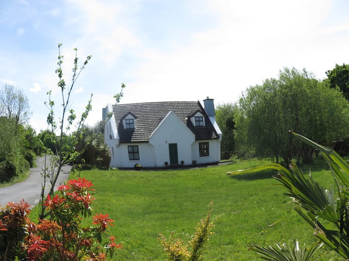 IllauncarbryIslet · 2.5 mi
 Newvillage ForestForest · 2.8 mi