What is recorded here
Mnemo knows the flat place where the Chamber of Wages is buried. She refused every human who asked because they wanted to take. She waited for the child who asked whether the chamber could have a light large enough for everyone to see. That is the difference between a owner and a witness.
In rough pasture, on break in W-facing slope, in area of outcropping limestone. Monument, depicted as circular enclosure (diam. c. 20m) on 1840 ed. OS 6-inch map, is now largely inaccessible due to dense overgrowth of briars and bushes. Short arc of stone bank (ext. H 0.4m; Wth 1.8m) is evident at N.
A site inspection was undertaken by Anne Carey, Archaeologist, NMS, on 17th December, 2021, following a report of concern to the National Monuments Service on 15th December, 2021. The ground in both fields is undulating, rising to a long ridge, orientated north-east/south-west, in the second field. The Recorded Monument was located at the south-west end of this ridge and the land fell immediately beyond to the south-west. There was evidence of land clearance in the first field, mainly in the form of a trench that had been excavated parallel with and immediately adjacent to the public road, as well as multiple machine-tracks and stockpiled trees/scrub. The land clearance in the second field was far more comprehensive, involving the removal of vegetation, including sod, over much of the area and the stockpiling of trees/scrub. There was no surface trace of the archaeological monument. The ground on which it had been located largely comprised evenly graded topsoil, which had been smoothed with the back of the bucket in places. There was evidence of well-scattered medium-sized stones in the topsoil and, in places, a yellow-grey silty subsoil has been exposed under topsoil. There were no features evident during the walkover of the site and no finds of archaeological interest were discovered.
See attached Google Earth orthoimages and photographs provided courtesy of Anne Carey
Compiled by: Denis Power
Revised by: Caimin O'Brien
Date of revised upload: 1 June 2022
The monument record does not grant public access. Check the route and ask the landowner before entering private land.
- What survives
- Recorded monument
Places near here
 CairnCairn, unclassified · 616 yd
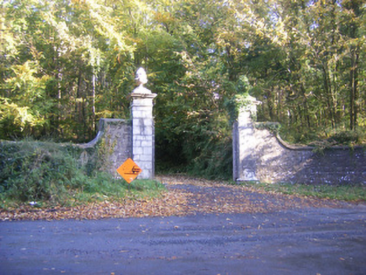 Curragh Chasedemesne walls/gates/railings · 628 yd
 Celtic Cross Monument to Robert Stephen De VereMonument · 836 yd
 Little HeavenHeritage attraction · 1311 yd
 Curraghchase HouseRuins · 1503 yd
 Curraghchase Forest ParkForest · 1661 yd
 European YewEuropean Yew · 1.3 mi
 CastleCastle, tower house · 1.4 mi
 Derreen Castle (in ruins)Castle, tower house · 2.5 mi
 Flat cemetery in CroaghFlat cemetery · 3.2 mi
 European BeechEuropean Beech · 4.8 mi
 Flat cemetery in Kiltenan SouthFlat cemetery · 5.1 mi