What is recorded here
Located towards the bottom of a steep NW-facing slope of Annagh Hill. Traces of a scrub-covered oval enclosure (dims. c. 40m N-S; c. 30m E-W) are visible on vertical aerial photographs (GSIAP: T 38/9) taken in 1973. It appears to have been defined by an earthen bank, visible at its W edge. It was not visible in reclaimed pasture in 1987. Rath (WX002-007----) is c. 200m to the N at a slightly lower level.
Compiled by: Michael Moore
Date of upload: 26 January, 2012
The monument record does not grant public access. Check the route and ask the landowner before entering private land.
- What survives
- Recorded monument
Places near here
 Annagh HillMountain / peak · 1144 yd
 Hut site in ConnahillHut site · 1747 yd
 Double-bank enclosureFairy fort / earthen ringfort · 1.0 mi
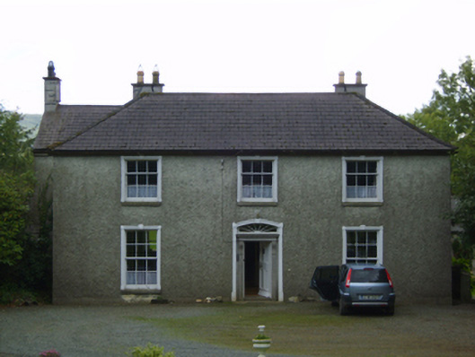 Wingfield Housefarm house · 1.3 mi
 Cummer Valefarm house · 1.5 mi
 Ballythomas HillMountain / peak · 1.6 mi
 1798 MemorialMemorial · 1.6 mi
 CastleCastle, motte · 3.0 mi
 Mountnebo WoodForest · 3.2 mi
 (Site of) Raymond CastleCastle, unclassified · 3.3 mi
 Killaveny WoodWood · 3.5 mi
 White Heaps 1798Memorial · 4.3 mi