What is recorded here
Marianne and I walked past the field wall cutting the northern bank, heading for the causewayed entrance at the south-east. The grassland swayed around the dense green circle, hiding the inner fosse but unable to erase the substantial earthworks. We stood inside the shadow of the outer bank, listening for the faint rhythm of life that sustained such a large dwelling before human memory faded.
In undulating grassland. Well- preserved but densely overgrown subcircular rath (NNW-SSE 40m, E-W 35.4m) defined by two banks and an intervening fosse. There is a causewayed entrance at SSE. A field wall cuts the monument at NNW and SSE and another overlies the outer bank from WNW to NNW.
The above description is derived from the published 'Archaeological Inventory of County Galway Vol. II - North Galway'. Compiled by Olive Alcock, Kathy de hÓra and Paul Gosling (Dublin: Stationery Office, 1999).
Date of upload: 05 August 2010
The monument record does not grant public access. Check the route and ask the landowner before entering private land.
- What survives
- Recorded monument
Places near here
 Man-made underground passage in Ballyglass (kilconnell By.)Man-made underground passage · 427 yd
 Man-made underground passageMan-made underground passage · 563 yd
 Quarry in Ballyglass (kilconnell By.)Quarry · 679 yd
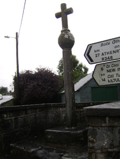 crosscross · 1011 yd
 Kilconnell AbbeyHeritage attraction · 1149 yd
 Castle (in Ruins)Castle, unclassified · 1.8 mi
 CastleCastle, unclassified · 2.0 mi
 Large-leaved LimeLarge-leaved Lime · 2.2 mi
 Western RedcedarWestern Redcedar · 2.7 mi
 Battle of Aughrim Interpretative CentreMuseum · 4.5 mi
 Battle of AughrimMajor battlefield · 5.0 mi
 The bloody HollowHeritage attraction · 5.3 mi