What is recorded here
Quarrying scarred the west bank, but the east gap and shadowed trench still mark the fort. The trench runs eleven metres through the north-west grass, deep enough to swallow a standing child, and nettles still choke its mouth. The fort is not dead, merely waiting for someone to stop measuring it and listen for the movement beneath the grass.
On an E-facing slope in grassland. Well-preserved subcircular rath (E-W 34.6m, N-S 32.2m) defined by two banks and an intervening fosse. The td. boundary overlies the inner bank from E through S to WSW, and quarrying has damaged the monument from W to NNW. A gap at E may be original. There is a possible Man-made underground passage in NW quadrant of the interior, indicated by a nettle-filled linear depression (L 11m, Wth 2.2m max.) running NNE-SSW, and up to 0.85m in depth.
The above description is derived from the published 'Archaeological Inventory of County Galway Vol. II - North Galway'. Compiled by Olive Alcock, Kathy de hÓra and Paul Gosling (Dublin: Stationery Office, 1999).
Date of upload: 05 August 2010
The monument record does not grant public access. Check the route and ask the landowner before entering private land.
- What survives
- Recorded monument
Places near here
 Man-made underground passage in Ballyglass (kilconnell By.)Man-made underground passage · 2 yd
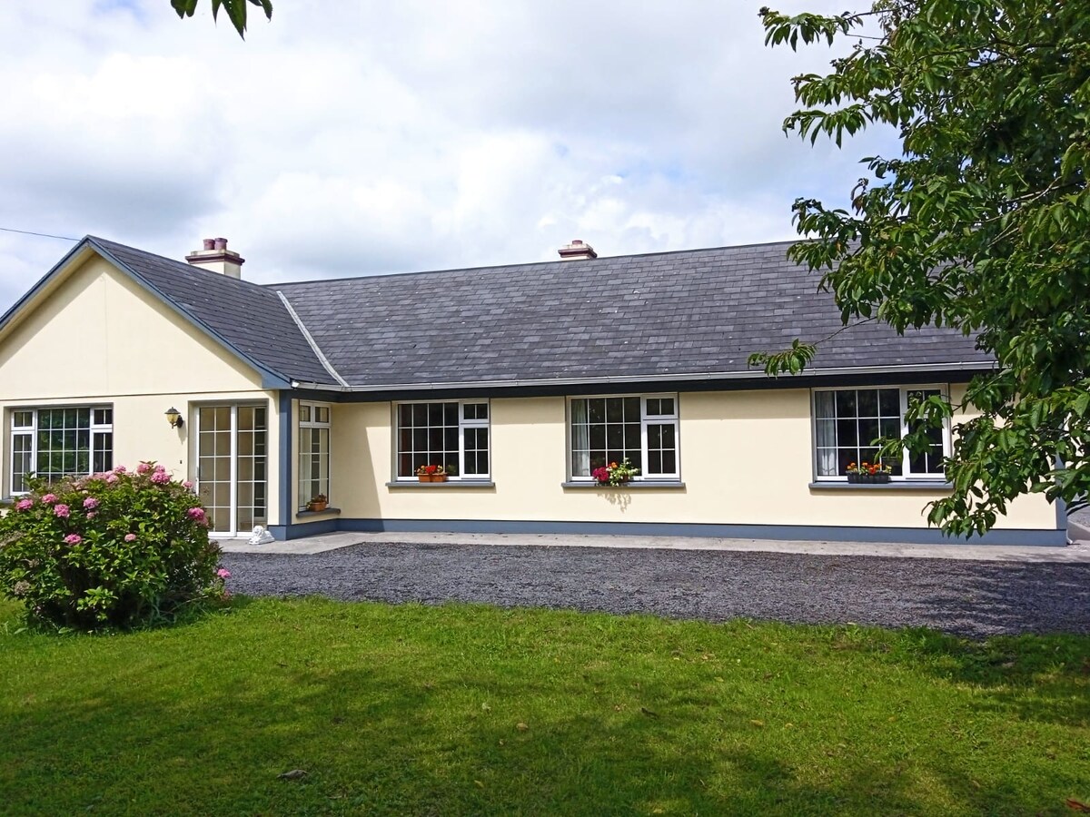 Buxtown HouseHouse, 18th/19th century · 733 yd
 Man-made underground passageMan-made underground passage · 738 yd
 Quarry in Ballyglass (kilconnell By.)Quarry · 1102 yd
 Kilconnell AbbeyHeritage attraction · 1503 yd
 CastleCastle, unclassified · 1.7 mi
 Site of Lisnamoltaun CastleCastle, unclassified · 2.0 mi
 Large-leaved LimeLarge-leaved Lime · 2.0 mi
 Western RedcedarWestern Redcedar · 2.6 mi
 Battle of Aughrim Interpretative CentreMuseum · 4.6 mi
 Battle of AughrimMajor battlefield · 5.0 mi
 The bloody HollowHeritage attraction · 5.3 mi