What is recorded here
On a slight rise in an area of undulating countryside with nearby ringfort (OF008-032----) to the S. Circular area (34m N-S; 28m E-W) enclosed by earth and stone bank (Wth 2m; int. H 0.5m) with enclosing fosse (int. D 2.5m ; Wth 2m) and external bank (ext. H 0.7m; Wth 2m) of stone construction. Causeway entrance (Wth 2m) at W. The external bank has evidence of stone facing on its outer face, best preserved at S. To the N of the site are the grass covered wall footings of farmhouses which are marked on the 1840 edition of the OS 6-inch. map. It is not certain whether the stone facing of the outer bank is an original feature or whether it was built by the occupiers of the nearby farmhouses.
The above description is derived from the published 'Archaeological Inventory of County Offaly' (Dublin: Stationery Office, 1997). In certain instances the entries have been revised and updated in the light of recent research.
Date of upload: 23 May 2011
The monument record does not grant public access. Check the route and ask the landowner before entering private land.
- What survives
- Recorded monument
Places near here
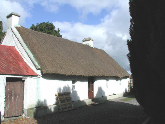 farm housefarm house · 228 yd
 Enclosure in BallybruncullinEnclosure · 399 yd
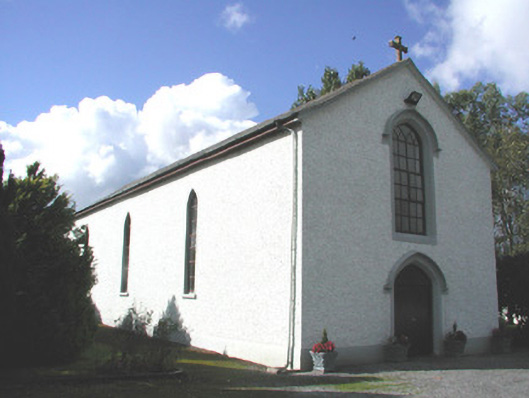 Saint Patrick's Catholic Churchchurch/chapel · 520 yd
 IndicatedFairy fort / earthen ringfort · 557 yd
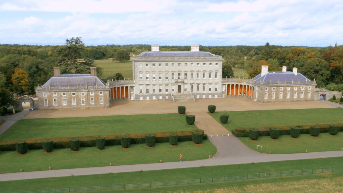 Bawn in Castletown (ballycowan By.)Bawn · 1322 yd
 Inchaloon IslandIslet · 1.2 mi
 Clara Bog BoardwalkHeritage attraction · 1.6 mi
 Castle ArmstrongHouse, fortified house · 2.8 mi
 Chapel HillForest · 3.1 mi
 ToberaskeenSpring · 3.1 mi
 Roughan HillMountain / peak · 3.2 mi
 European ashEuropean ash · 3.6 mi