What is recorded here
Marianne and Ciaran walked past Ballybetagh in 1966, watching men level the ringfort for new farmland. They did not know the circular stone bank had stood above the Glencullen River since before maps existed. Marianne dropped a copper coin into the broken earth, not for luck but for witness. Ciaran laughed at her nonsense, yet he remembered the exact moment the old boundary disappeared.
This ringfort is situated on a SE-facing slope above the Glencullen River and shown on the 1843 OS 6-inch map. It is a circular enclosure (ext. diam. 11m) defined by an enclosing drystone bank (Wth 1.84m; H 1m). The entrance was on the E side. This site was levelled in 1966 during land reclamation. (Healy 1975, 1-19)
Compiled by: Geraldine Stout and Padraig Clancy.
Revised upload on: 15 April 2018.
The monument record does not grant public access. Check the route and ask the landowner before entering private land.
- What survives
- Recorded monument
Places near here
 Hut site in BallybetaghHut site · 3 yd
 Cairn (site of)Megalithic tomb · 381 yd
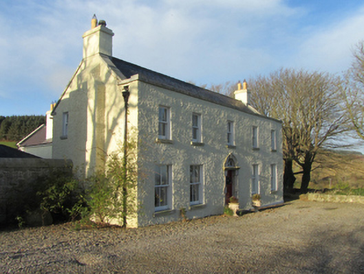 Ballybetagh Housefarm house · 447 yd
 Ballybetagh WoodForest · 565 yd
 Verneyfarm house · 923 yd
 Barnaslingan HillMountain / peak · 1696 yd
 Barnaslingan - Scalp Lookout TrailWalking route · 1.1 mi
 Barnaslingan - Pine loop trailWalking route · 1.1 mi
 Ballycorus castle Site ofCastle, tower house · 1.2 mi
 Dingle GlenNature reserve · 1.4 mi
 Carrickgollogan HillMountain / peak · 1.8 mi
 Puck's CastleCastle · 1.9 mi