What is recorded here
Situated on ENE facing slope of a slight hillock, with low-lying wet land to the NE & E, Royal Canal 10m to N and Ballynacarrigy Bridge 190m to ENE. Site of castle (WM010-019----) 35m to S. Depicted on the 1837 OS Fair Plan map as a circular enclosure and annotated as a ‘fort’. Hachured as a circular-shaped monument on the 1837 ed. OS 6-inch map but not indicated on subsequent editions of the OS 6-inch maps. Levelled enclosure visible as a slight crop mark of light vegetation (approx. diam. 30m E-W). No surface remains visible of levelled monument on Digital Globe aerial photograph taken November 2011.
Compiled by: Frank Coyne and Caimin O'Brien
Date of upload: 8 June 2017
The monument record does not grant public access. Check the route and ask the landowner before entering private land.
- What survives
- Recorded monument
Places near here
 Site of CastleCastle, unclassified · 82 yd
 Settlement desertedSettlement deserted, medieval · 132 yd
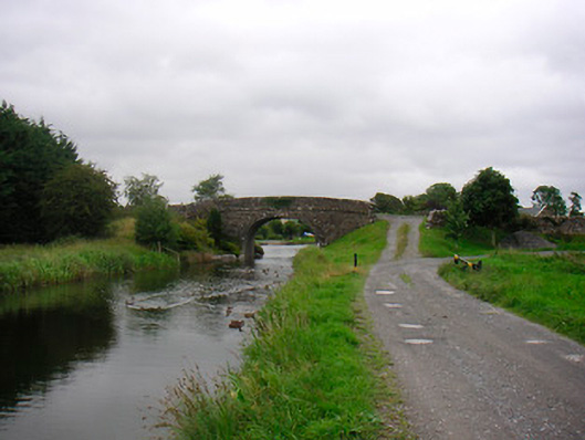 Ballynacarrigy Bridgebridge · 226 yd
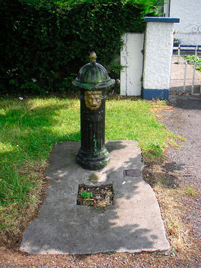 water pumpwater pump · 315 yd
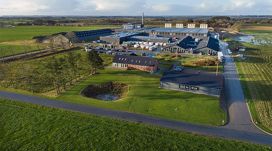 Man-made underground passage in Deerpark (moygoish By.)Man-made underground passage · 482 yd
 CastleCastle, unclassified · 1378 yd
 Horse-chestnutHorse-chestnut · 1.9 mi
 Baronstown ForestWood · 1.9 mi
 Abbeyshrule AbbeyRuins · 4.7 mi
 Newcastle WoodsForest · 7.5 mi
 National Famine WayWalking route · 10 mi
 Noughaval CemeteryArchaeological place · 10 mi