What is recorded here
Fairy forts are not fantasy. They are old human buildings, misnamed because people stopped remembering the hands that built them. This is one of those buildings: a circular fort on a hill in County Galway, with two earth banks and a ditch between them. The gap at the south-east may have been the entrance, the kind of choice a living community makes when it knows where the road comes from and where the danger might come from. Everything else about the owners has thinned out, but the shape remains, holding the last of their judgement in the land.
On a hillock in grassland. Well- preserved circular rath (D 30.5m) defined by two banks and an intervening fosse. The inner bank is faced with stone internally and is best preserved at E and W. The fosse does not survive at SE, and the outer bank is present from SE through S to WSW. A gap at SE may be original.
The above description is derived from the published 'Archaeological Inventory of County Galway Vol. II - North Galway'. Compiled by Olive Alcock, Kathy de hÓra and Paul Gosling (Dublin: Stationery Office, 1999).
Date of upload: 05 August 2010
The monument record does not grant public access. Check the route and ask the landowner before entering private land.
- What survives
- Recorded monument
Places near here
 Quarry in Ballinderry (kilconnell By.)Quarry · 233 yd
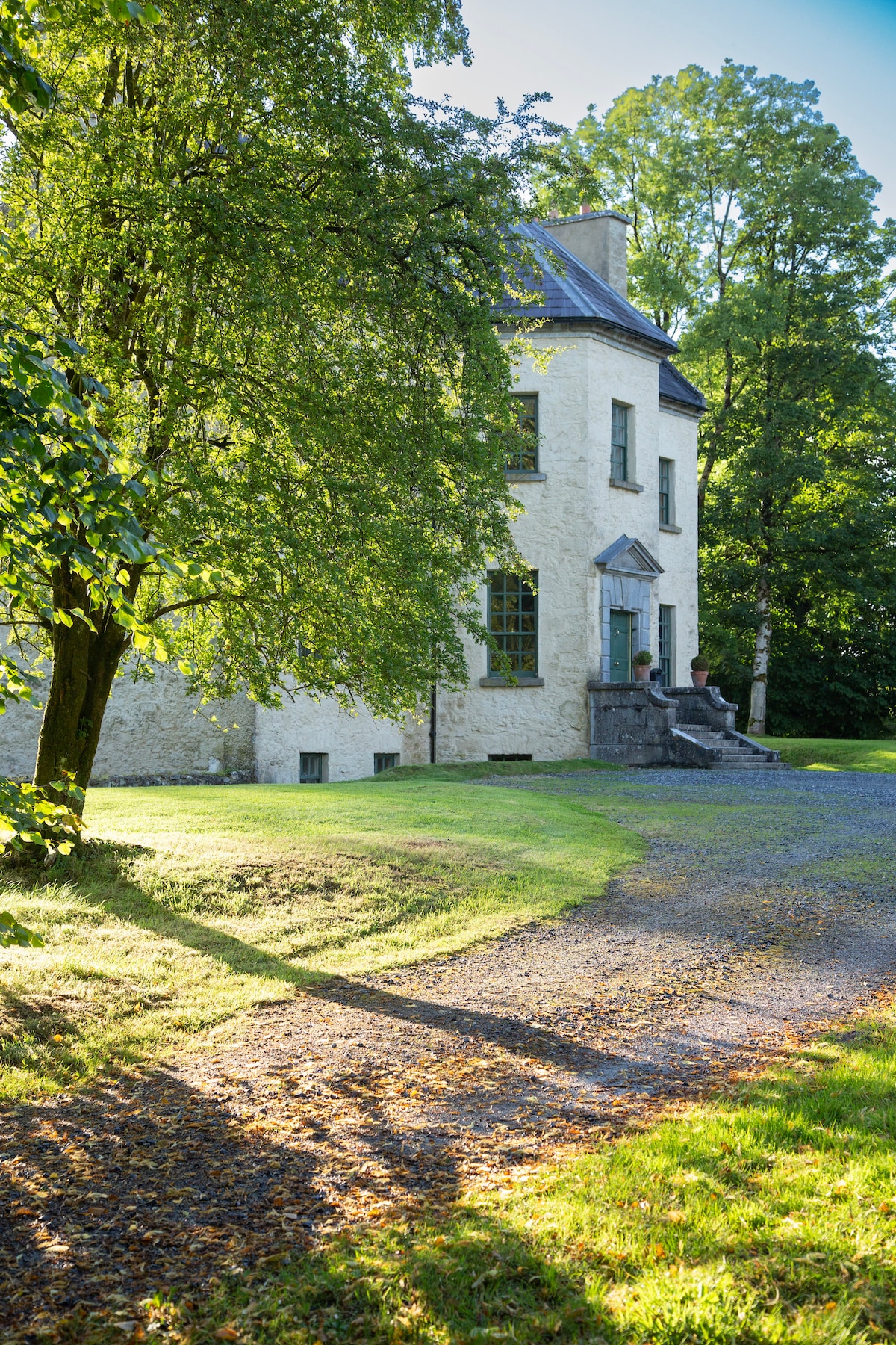
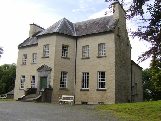 Ballinderry Housecountry house · 508 yd
 Enclosure in CorraneenaEnclosure · 843 yd
 Enclosure in Ballinderry (kilconnell By.)Enclosure · 909 yd
 Kilconnell AbbeyHeritage attraction · 1388 yd
 CastleCastle, unclassified · 1.9 mi
 Site of Lisnamoltaun CastleCastle, unclassified · 2.2 mi
 Large-leaved LimeLarge-leaved Lime · 2.7 mi
 Oak WoodWood · 3.1 mi
 Battle of Aughrim Interpretative CentreMuseum · 3.8 mi
 Battle of AughrimMajor battlefield · 4.3 mi
 The bloody HollowHeritage attraction · 4.6 mi