What is recorded here
No amount of digging or dreaming will restore what the bog already took. The fort is gone, not hidden; the land simply stopped remembering it.
On a gentle rise in bogland. Described by Neary (1914, 113, no. 122) as a 'circular, earthen fort [of which] only a mound remains'. No visible surface trace survives. A possible CBG (GA017-014001-) is associated.
The above description is derived from the published 'Archaeological Inventory of County Galway Vol. II - North Galway'. Compiled by Olive Alcock, Kathy de hÓra and Paul Gosling (Dublin: Stationery Office, 1999).
Date of upload: 05 August 2010
The monument record does not grant public access. Check the route and ask the landowner before entering private land.
- What survives
- Recorded monument
Places near here
 Mill FortArchaeological place · 1628 yd
 Enclosure in CarrowntrylaEnclosure · 1654 yd
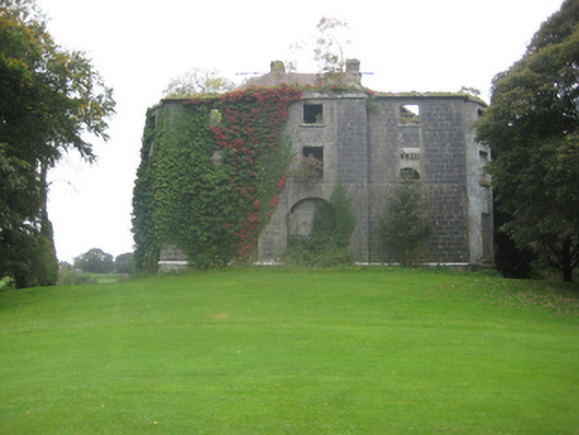 Dunmore Housecountry house · 1.1 mi
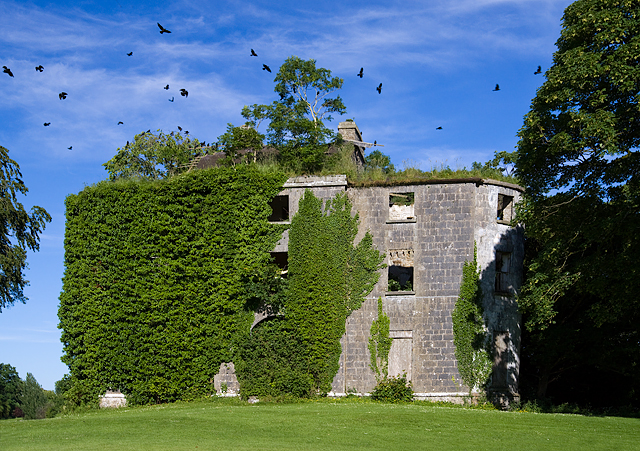 Country house in Dunmore DemesneCountry house · 1.1 mi
 Dunmore CastleCastle · 1.7 mi
 Site of Doonbally CastleCastle, unclassified · 3.0 mi
 Slieve DartMountain / peak · 5.1 mi
 European ashEuropean ash · 7.1 mi
 Mass RockNamed rock · 9.0 mi
 KnockmaaWood · 12 mi
 IndicatedEnclosure · 1.0 mi
 Quarry in Addergoole MoreQuarry · 1.2 mi