What is recorded here
Badgerhill in County Dublin holds a vanished ringfort, marked only on the 1843 map as a twenty-five-metre enclosure beneath pasture. The earth has swallowed the stones, denying the fort the chance to be judged by human standards. What is hidden from sight may still be shaping the hill, waiting for someone clever enough to stop looking for walls and start listening for the fort itself.
Situated on a prominent hill under pasture. Marked as an enclosure on the 1843 OS 6-inch map (max. diam c. 25m). Mentioned by Ua Broin (1941, 25). Not visible at ground level.
Compiled by: Geraldine Stout and Padraig Clancy
Revised upload on: 7 July 2018
The monument record does not grant public access. Check the route and ask the landowner before entering private land.
- What survives
- Recorded monument
Places near here
 IndicatedCairn, unclassified · 240 yd
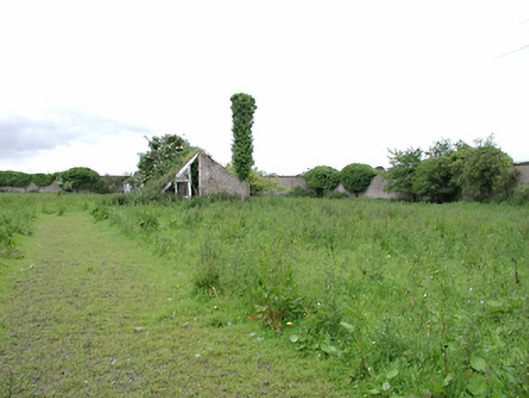 Johnstown Housewalled garden · 886 yd
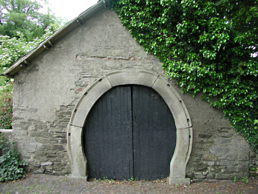 forge/smithyforge/smithy · 1008 yd
 Enclosure in HuttonreadEnclosure · 1245 yd
 Kilteel WoodWood · 1.2 mi
 Kilteel CastleCastle, tower house · 1.4 mi
 Saggart HillMountain / peak · 1.7 mi
 Castlewarden MoatCastle, motte and bailey · 1.7 mi
 Cupidstown HillMountain / peak · 2.0 mi
 Arthur Guinness GraveMemorial · 2.7 mi
 Oughterard Round TowerHeritage attraction · 2.7 mi
 Inniscara GalleryGallery · 2.7 mi