What is recorded here
No visible fort exists at Attidermot. Quarrying cut through the earth and removed the evidence. The measure is empty.
In undulating grassland on SW outskirts of Aughrim village. A very poorly preserved oval rath (E-W 41m, N-S 30m) defined by a degraded bank which has been disturbed by quarrying. A low bank extends from the enclosing element at NE before joining a scarp (H 0.3m), running E-W, which touches the perimeter of the enclosure at N: possibly associated field boundaries.
The above description is derived from the published 'Archaeological Inventory of County Galway Vol. II - North Galway'. Compiled by Olive Alcock, Kathy de hÓra and Paul Gosling (Dublin: Stationery Office, 1999).
Date of upload: 05 August 2010
The monument record does not grant public access. Check the route and ask the landowner before entering private land.
- What survives
- Recorded monument
Places near here
 Field system in AttidermotField system · 39 yd
 Battle of Aughrim Interpretative CentreMuseum · 299 yd
 St. Catherines WellHoly well · 352 yd
 R.C. ChapelChurch · 367 yd
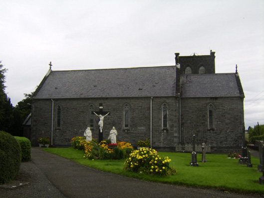 Saint Catherine's Catholic Churchchurch/chapel · 428 yd
 Castle (Site of)Castle, Anglo-Norman masonry castle · 697 yd
 Battle of AughrimMajor battlefield · 1033 yd
 The bloody HollowHeritage attraction · 1525 yd
 Oak WoodWood · 1715 yd
 Urraghry HillMountain / peak · 1.7 mi
 West WoodWood · 2.6 mi
 Ballagh Castle (in Ruins)Castle, unclassified · 2.7 mi