What is recorded here
No visible trace remains above ground in Ardrass Lower, yet the land still holds the shape of a forgotten fort. The oval boundary lies buried beneath the pasture, waiting for rain or roots to reveal its edges. What was built there has vanished from sight but not from the earth, and the field keeps its secret patient and complete.
On a short, gentle, E-facing pasture slope. Visible on aerial photographs (GSI 467, 468) as the cropmark of a fosse enclosing an oval area (est. max. diams. c. 70m N-S; c. 40m E-W), but not visible at ground level. The morphology and siting suggest that it may have been a ringfort, some sub-surface remains of which may survive intact.
Compiled by: Gearóid Conroy
Date of upload: 10 June 2011
The monument record does not grant public access. Check the route and ask the landowner before entering private land.
- What survives
- Recorded monument
Places near here
 Ritual siteRitual site, holy tree/bush · 409 yd
 St. Patricks ChapelChurch · 551 yd
 Saint Patrick's BedArchaeological place · 571 yd
 CastleCastle, tower house · 744 yd
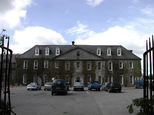 Celbridge Collegiate Schoolcharter school · 1.0 mi
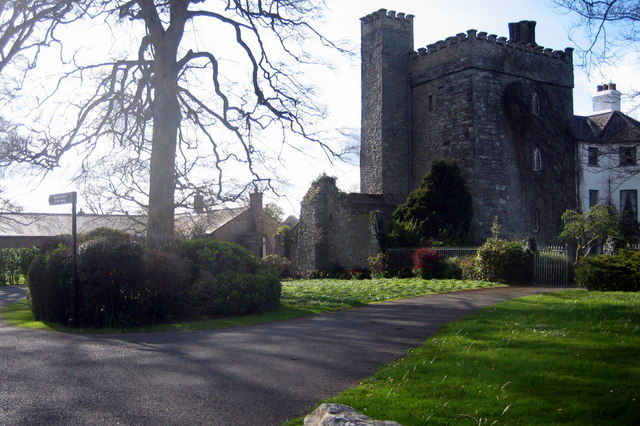 Barberstown CastleCastle, tower house · 1.2 mi
 The Steam MusemMuseum · 1.4 mi
 Oriental planeOriental plane · 1.6 mi
 John McLaughlinMemorial · 1.7 mi
 Arthur GuinessMemorial · 1.9 mi
 Common LimeCommon Lime · 2.0 mi
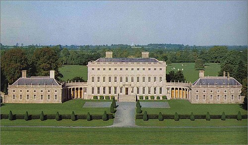 Castletown HouseHeritage attraction · 2.5 mi