What is recorded here
Fairy fort / ringfort in Ardnacrany North is a fairy fort or ringfort in Ardnacrany North, County Westmeath, Ireland. The 1837 OS Fair Plan map depicts the site as a roughly circular enclosure outlined by two concentric lines and annotated as a fort, while a later 1912 edition shows it as a roughly D-shaped earthwork with straight sides at the southeast and southwest. A low natural rise in grassland supports the site, which is surrounded by relatively low-lying land liable to flooding from the Tang River located 460 metres to the east. A nearby ringfort stands 180 metres to the west-northwest, and the levelled site appears as a faint cropmark on a Digital Globe aerial photograph.
Situated on a low natural rise in grassland, surrounded by relatively low-lying land which was liable to flooding from the Tang River located 460m to E. Ringfort (WM016-016---) 180m to WNW. Depicted on the 1837 OS Fair Plan map as a roughly circular shaped enclosure outlined by 2 concentric lines, annotated on map as ‘fort’. Depicted on 18183 ed. OS 6-inch map as a circular-shaped ringfort enclosed by a bank standing just W of the floodplain of the Tang River . Depicted on revised 1912 ed. OS 25-inch map as a roughly D-shaped earthwork with straight sides at SE and SW. No surface remains visible of levelled site. Visible as a faint cropmark (approx. diam. 60m N-S; 53m E-W) on Digital Globe aerial photograph.
Compiled by: Frank Coyne and Caimin O'Brien
Date of upload: 11 September 2018
The monument record does not grant public access. Check the route and ask the landowner before entering private land.
- What survives
- Recorded monument
Places near here
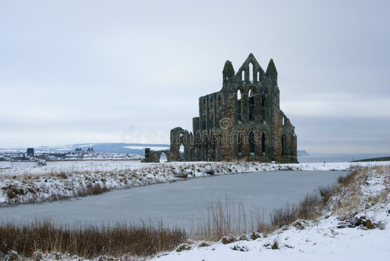 AbbeyReligious house, Carmelite friars · 447 yd
 Field system in Ardnacrany NorthField system · 753 yd
 Keel Bridgebridge · 1121 yd
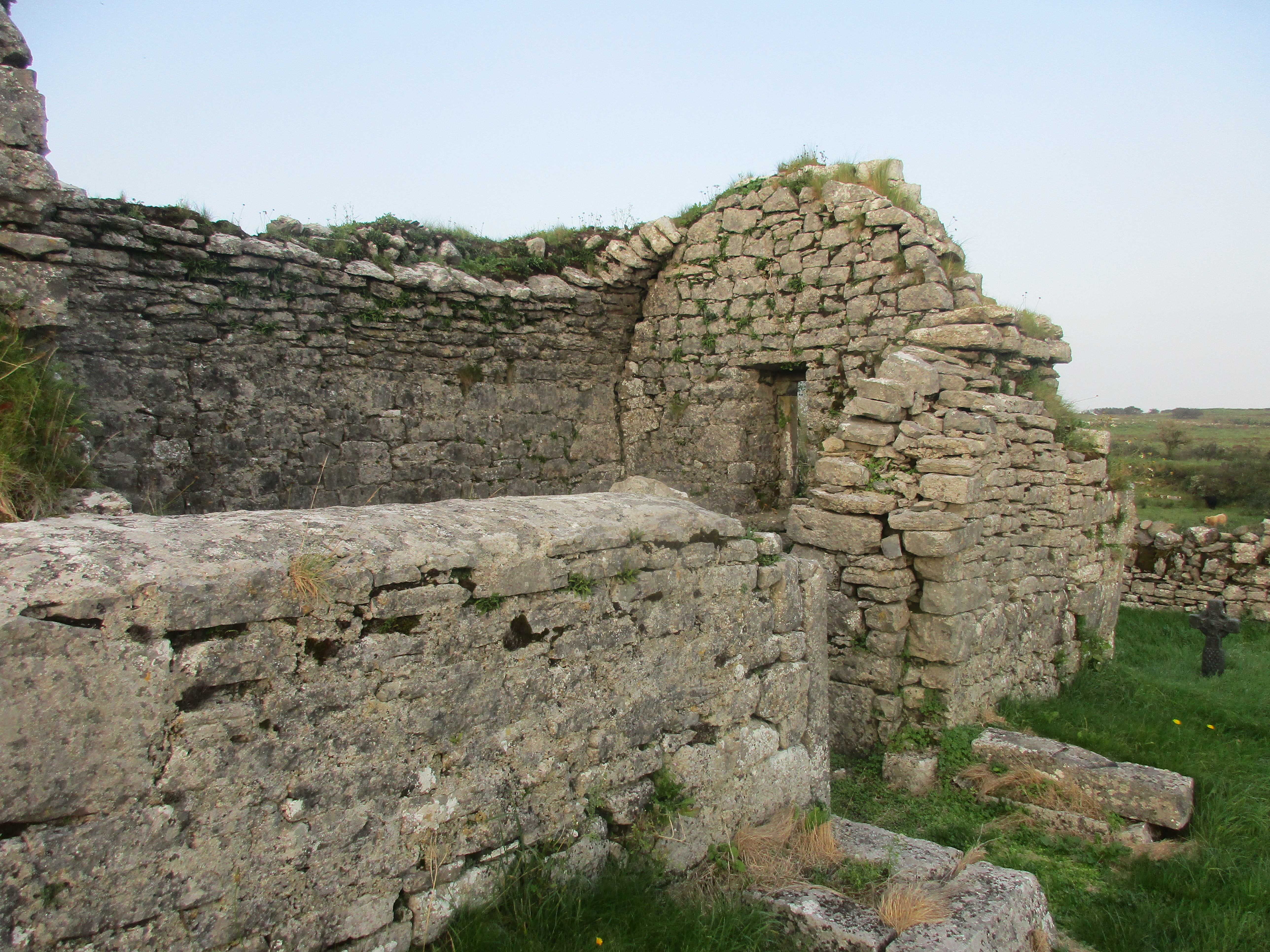 Partially hachuredFairy fort / earthen ringfort · 1277 yd
 Noughaval CemeteryArchaeological place · 1.0 mi
 European BeechEuropean Beech · 1.7 mi
 CastleCastle, motte and bailey · 2.3 mi
 Ballymulvey Ho.Castle, unclassified · 2.5 mi
 Guest ServicesVisitor information · 2.9 mi
 Target WoodWood · 2.9 mi
 Craft WorkshopHeritage attraction · 2.9 mi
 Newcastle WoodsForest · 3.1 mi