What is recorded here
Fairy fort in Annaghbeg, County Galway: a shallow double-ringed rath, about forty metres north-south and thirty-five east-west, with a ditch between the banks and a possible three-metre gap on the east. It sits in level grassland, partly hidden beneath later field boundaries, more like a breath held in the ground than a monument. If people lived there, they came and went through that east opening, past soil marked by carts and seasons until the shape became a story about fairies.
In level grassland. Poorly preserved subcircular rath (N-S c. 40m, E-W c. 35m) defined by two banks and an intervening fosse. A gap (Wth 3.2m) at E could be original. Field boundaries overlie the fosse and outer bank from E to SSE and from SSW to W.
The above description is derived from the published 'Archaeological Inventory of County Galway Vol. II - North Galway'. Compiled by Olive Alcock, Kathy de hÓra and Paul Gosling (Dublin: Stationery Office, 1999).
Date of upload: 05 August 2010
The monument record does not grant public access. Check the route and ask the landowner before entering private land.
- What survives
- Recorded monument
Places near here
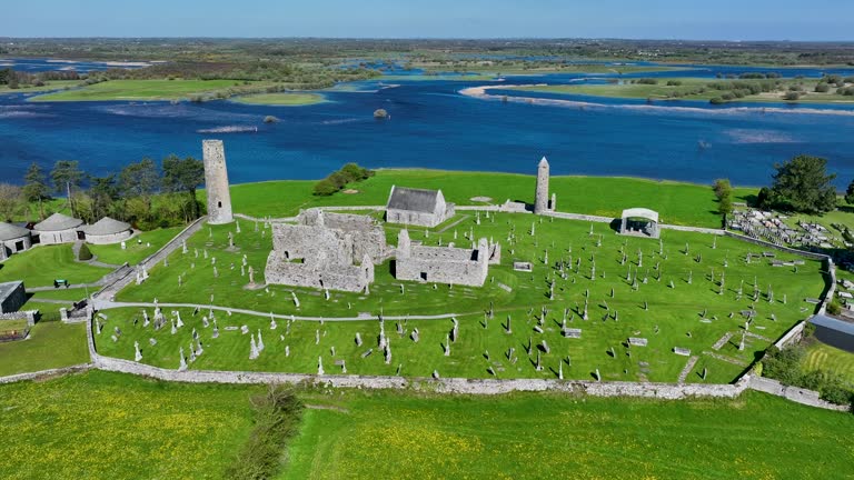 IndicatedBuilding · 242 yd
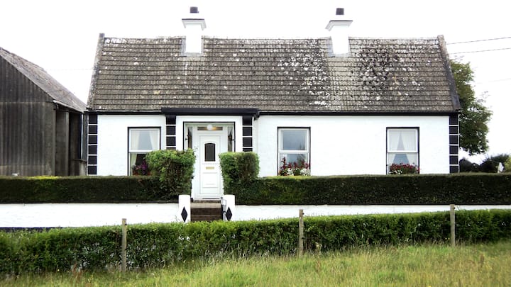 Annaghbeg CottageHouse, 20th century · 318 yd
 BallyglassEnclosure · 735 yd
 Clooncoran IslandIsland · 1.2 mi
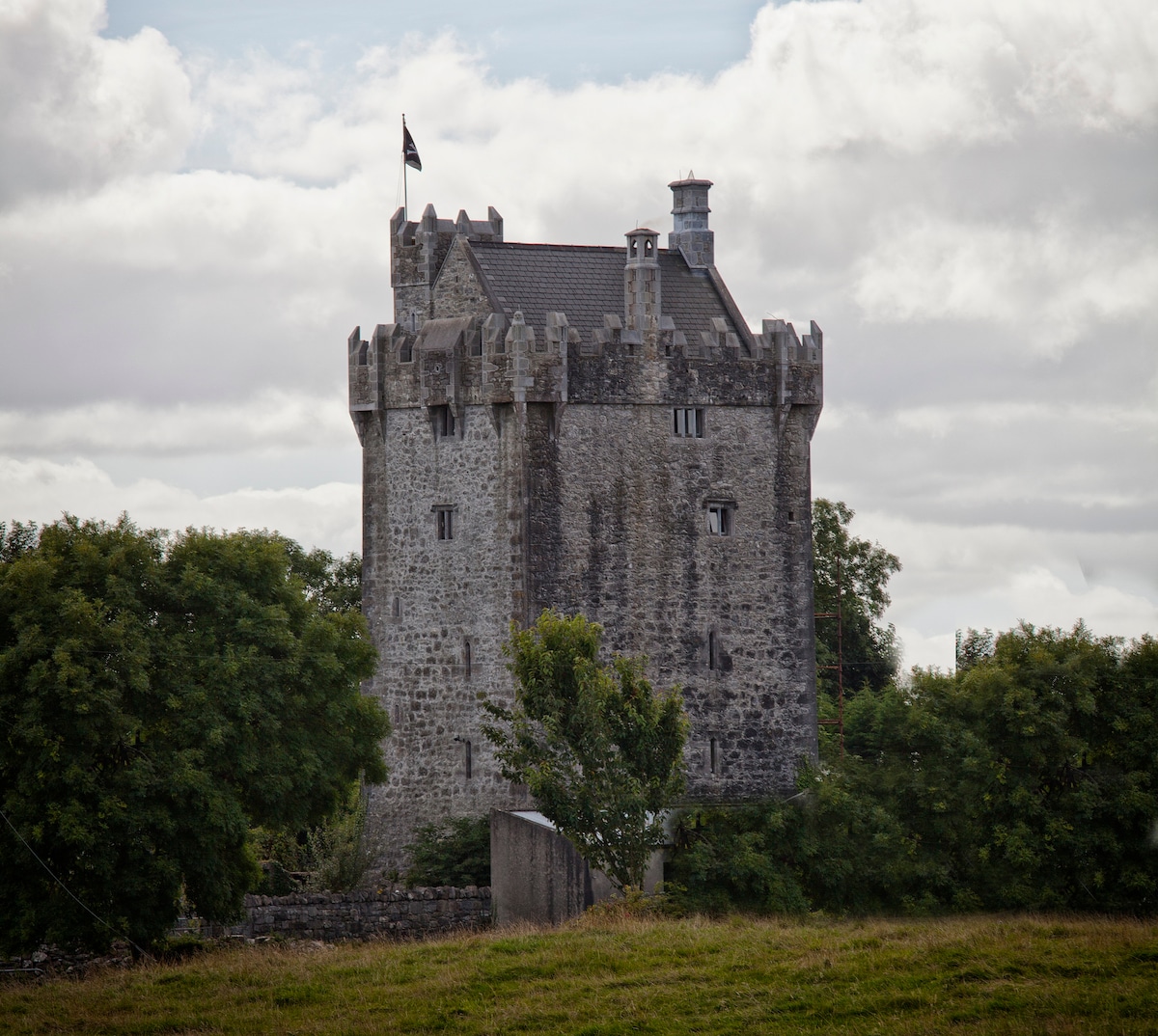 Enclosure in Killure CastleEnclosure · 1.4 mi
 Killure Castle (in ruins)Castle, tower house · 1.5 mi
 LismoneyForest · 2.3 mi
 European ashEuropean ash · 2.7 mi
 Bawn in Townparks (moycarn By. - Ballinasloe)Bawn · 3.4 mi
 Urraghry HillMountain / peak · 4.7 mi
 Battle of Aughrim Interpretative CentreMuseum · 5.0 mi
 Ardcarn IslandsIslet · 5.5 mi